All posts by admin

Livingstone, Zambia 103

Back at Moorings campsite we suppose that Tara has again tick fever but we are not sure. The next morning it was much more dramatic as she could not morve her hind legs so we drove another 100 km back north to meet the British Vet.

Moorings Farm
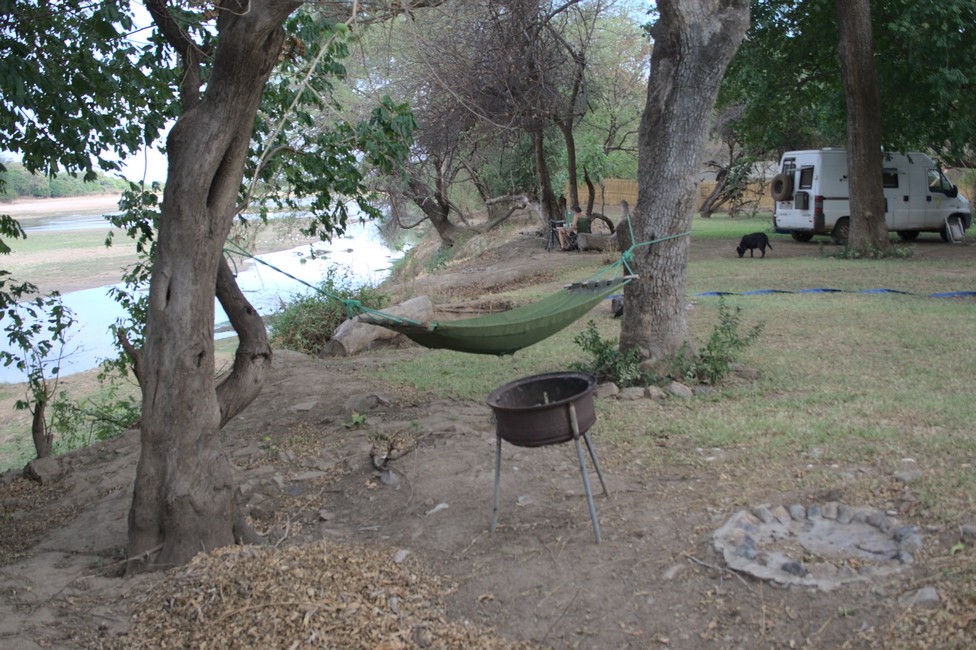
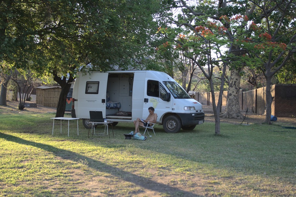
Moorings Farm Campsite

She examined Tara carefully and came to the conclusion that she has got the sleeping sickness which she obviously had from some wet area where the tsetse fly is comon. Tara got injections and antibiotics, we stay a few days more with the Swiss couple in Moorings until she has recovered. So we moved on to Livingstone again and gave Tara there a few days to recover as here it is close to the Namibian border.

Livingstone
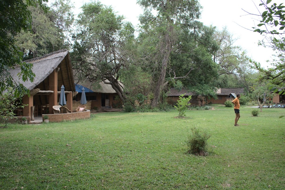
Livingstone Campsite

However, we are a little pressed for time, because the rainy season has begun and it is pouring with rain. In addition, our visa expires and we should continue to Namibia. Unluckily we are as our power cord extension went up in flames, no idea why but I just could stop it before the whole 50 meters were gone. So despite the rain I had to shorten the power cord and add a new plug to have power again.

Livingstone
Rainy season

We wait for the worst rains to be over, Tara is feeling better and so we set off towards the border.

Livingstone
dogs at the campsite
Livingstone
Tara has made arrangements

From Livingstone until the border is around 200 kilometers, we will make it in one day. The route is fairly straight forward on a good tarmac. Despite major traffic route, there is little traffic, it hardly exists border traffic between Zambia and Namibia.

Livingstone
Livingstone Campsite

A modern bridge over the Zambezi River connects the two countries and was added to a ferry, which was once the only link between the two countries here.

At the end of the bridge is the border post. We leave Zambia and traveling to Namibia.

A comprehensive overview for planning an overland journey can be found in Overlanding Zambia.

Previous

Next

Victoria Falls 102

Via Lusaka we head south to Victoria Falls. We had met a Swiss couple days earlier, we would like to visit them at the Moorings Campsite, where they have settled.
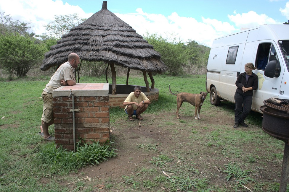
Moorings farm
Moorings campsite with the Swiss couple

We spend a few days here and have fun with them. But we want to continue on to Victoria Falls to Livingstone. On a good tar road it is easy to get there in one day. On the way we fill up with charcoal for cooking.
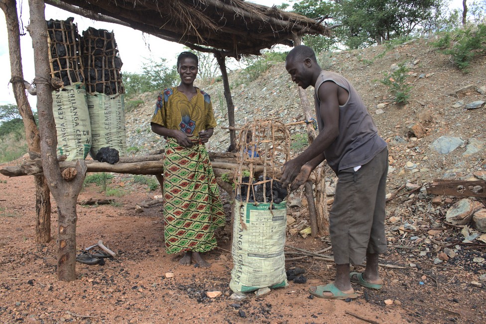
charcoal seller
Getting some charcoal for cooking

Livingstone is a modern city and we stay at the Livingstone Safari Camp Site. Almost every camp has dogs, but mostly Tara gets along fine with the half-wild dogs. She is old and interestingly most dogs have respect for her.

The camp is very good. It provides shadows has electricity and even has free internet access.

Another advantage is that it is close to Victoria Falls, where we want to go today. The first sight is gigantic.
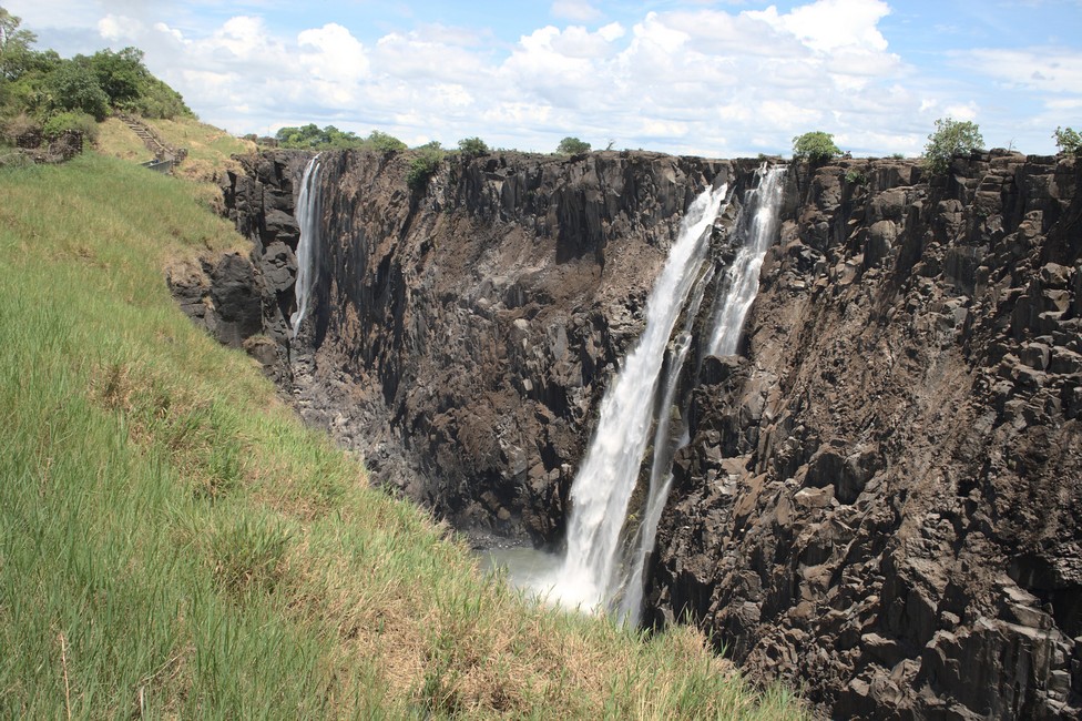
Victoria Falls
Victoria Falls in dry season

The water masses are not so great because it is dry season, but this allows good vision, as if a strong water vapor is in the air you cannot seen so much.
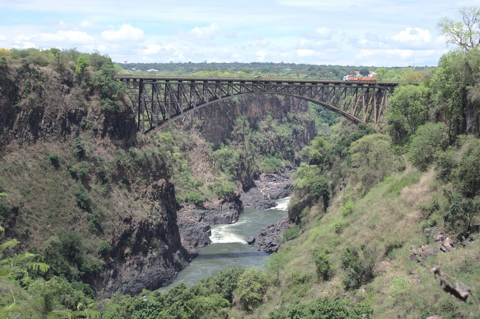
Victoria Falls
Bridge at the falls connecting Zambia and Zimbabwe but not Namibia

“Thunder Smoke” it was called by the locals before the falls were renamed by Livingstone in honor of the queen. They are among the great natural wonders of the world and have been classified by UNESCO as a World Heritage Site. The Victoria Falls form an edge of 1688 meters and plunge 108 meters into the depths. This makes them the largest unique down collapsing mass of water in the world. They are twice as high as Niagara Falls.
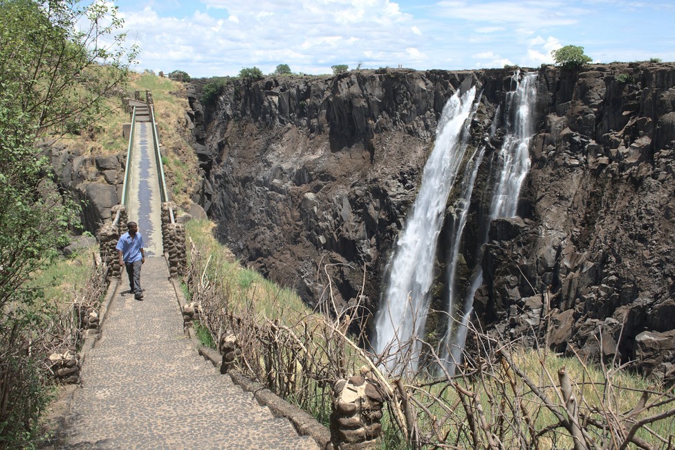
Victoria Falls
Victoria Falls

The Zambezi lays back 1440 km from its source in northwestern Zambia to Victoria Falls. Until those falls, it is calm and leisurely. Then it bends and gains speed noticeably.

It rushes over rapids against the escarpment. Then it plunges over 100 meters into a narrow gorge. Now the water masses squeeze through steep narrow gorges, until it finally empties into Lake Kariba.
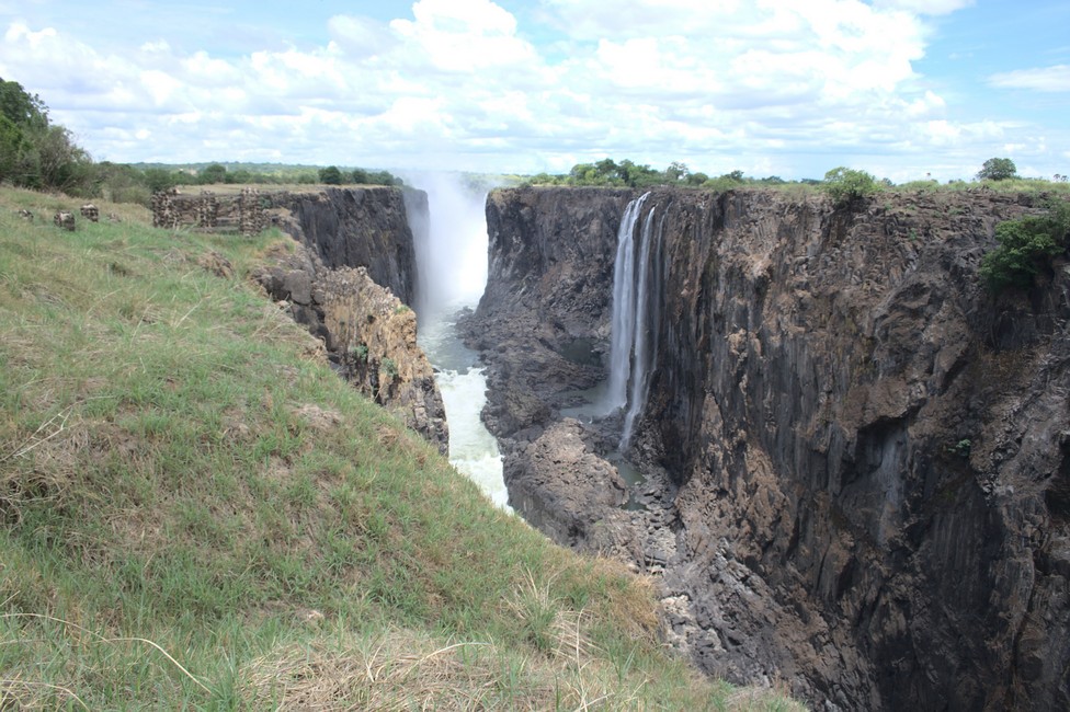
Victoria Falls
Victoria Falls

At the falls there is a monument representing the David Livingstone, who is the discoverer. But they were discovered of countless locals who lived here for centuries.
Also, he should not have been the first white man who saw the falls. Three years earlier, a certain Cooley showed the falls in his map. And 1848 a Portuguese could have already been here. In any case, it is good for Zambia, because Livingstone is a well-sounding name, and can be marketed.
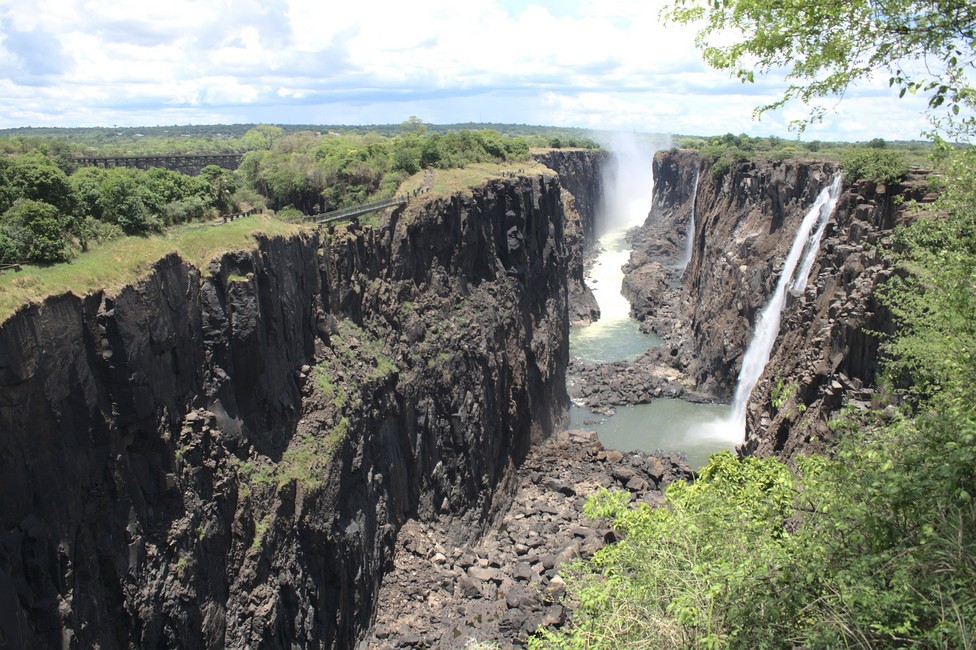
Victoria Falls
Victoria Falls

A bridge spans the gorge, and marks the border between Zambia and Zimbabwe. You can visit both sides of the falls without difficulty, because the border officials are used and there is not much paperwork and let visitors pass over the bridge.

We have enjoyed the waterfalls, they are indeed impressive. We drive back to the campsite. There, we notice that Tara is feeling bad and has problems with her hind legs so we decide to return to the Swiss couple, because they know a good vet.

A comprehensive overview for planning an overland journey can be found in Overlanding Zambia.
Previous

Next

Lake Kariba 101

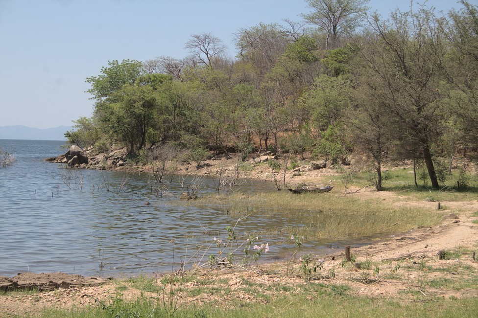
The next day we go to Lake Kariba and leave Lower Zambezi National Park. It forms the border with Zimbabwe. The road there to the Lake as everywhere in Africa is chalenging. But the landscape is scenic.

Lake Kariba
Lake Kariba Road

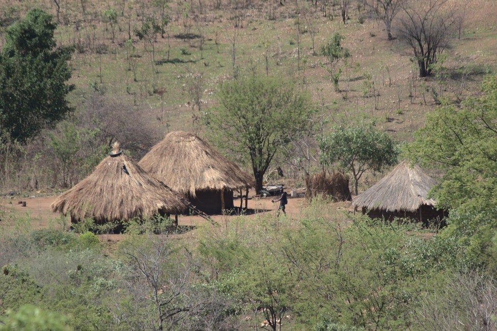
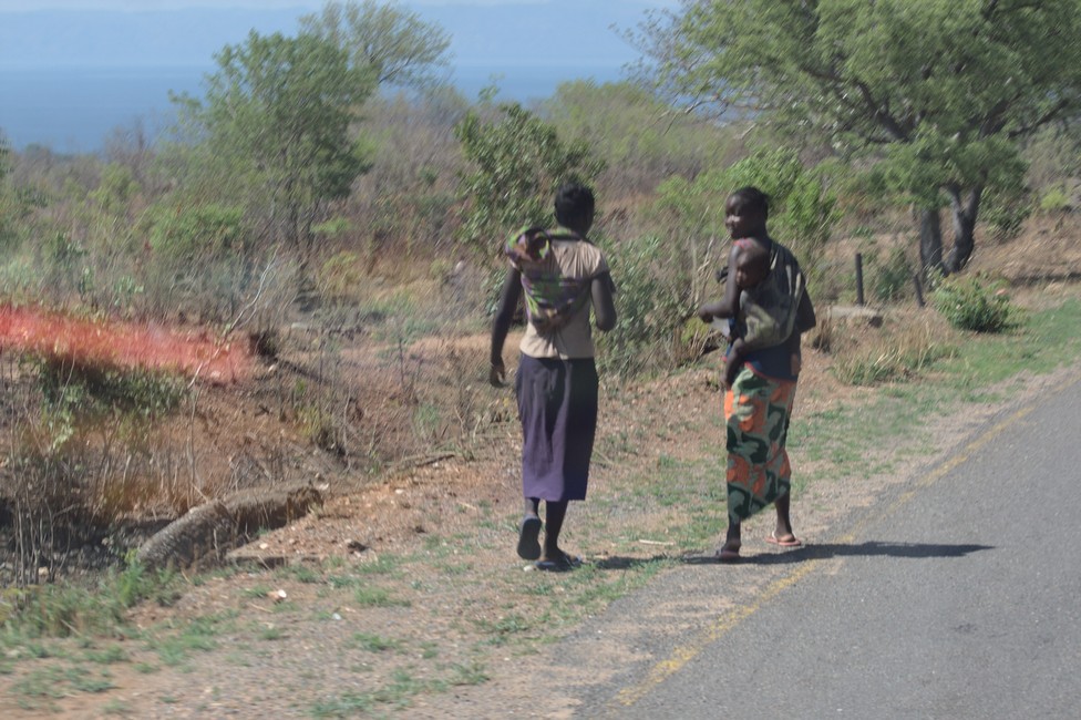
Scenic and slow is life at the lake in this area, some village huts and everything is done walking and chating.

Lake Kariba
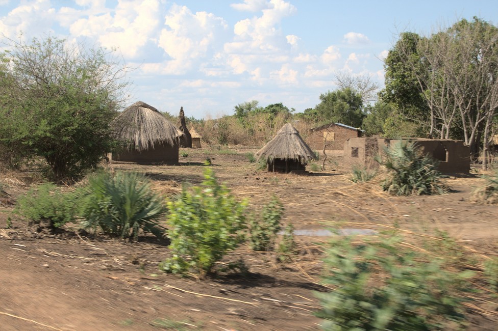
Lake Kariba huts
Lake Kariba
women along the road

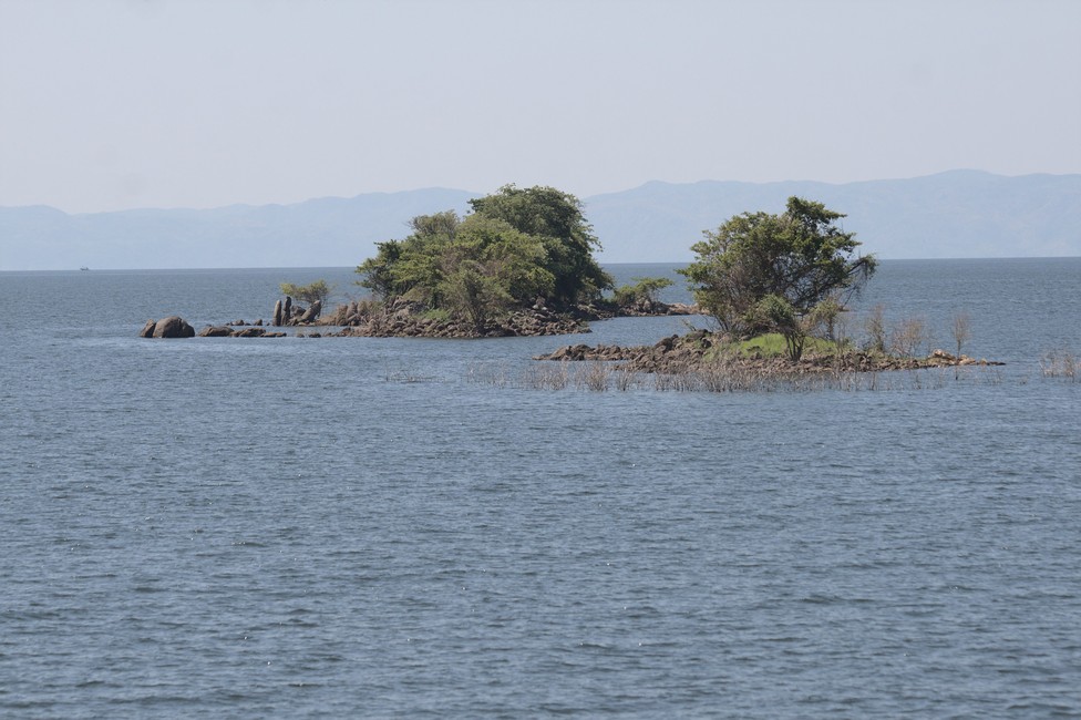
From a hill we have a good view. The idea for a lake dates back to 1912. Only in 1955 the project was implemented by an Italian company. The construction was difficult, because there can be up to 50 degrees Celsius.

Lake Kariba
Lake Kariba

In 1958, the Zambezi was eventually dammed. Quickly the water rose but it took five years until the Lake Kariba was filled.
The realization of the project has cost 86 lives. The construction was carried out against the will of the Tonga tribe. Under state pressure 57,000 people were forcibly relocated.

With an surface area of ​​approximately 5,000 square kilometers Lake Kariba is one of the largest lakes in Africa. Its coastline is 2,000 kilometers. The lake is 280 kilometers long and 28 kilometers wide at its widest point. It is 120 meters deep, but an average of 20 meters.

Lake Kariba
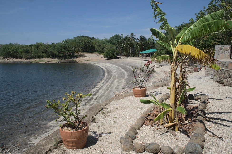
Only hotel and campsite

Lake Kariba is a man-made lake located on the border between Zambia and Zimbabwe in southern Africa. The lake was created in the 1950s by damming the Zambezi River, and it is now a popular tourist destination known for its wildlife.

The lake and its surrounding areas are home to a wide variety of wildlife species, including elephants, hippos, crocodiles, zebras, buffaloes, lions, leopards, and many species of birds. The lake itself is home to numerous fish species, including the famous tiger fish, which is a popular game fish.

In addition to the wildlife that can be seen around the lake, there are also several national parks and game reserves in the area that offer visitors the chance to see even more wildlife up close. These include the Matusadona National Park in Zimbabwe and the Lower Zambezi National Park in Zambia.

Overall, Lake Kariba is a great destination for wildlife enthusiasts, offering a unique combination of water-based and land-based wildlife viewing opportunities in a beautiful natural setting.

Lake Kariba
Campsite

On its shores developed tourist infrastructure and beautiful hotels.

A comprehensive overview for planning an overland journey can be found in Overlanding Zambia.
Previous

Next

Lower Zambezi National Park 100

Through hilly terrain, we go to the Lower Zambezi National Park, we do not want to get in, but spend a few days on the banks of the Zambezi. First we have to leave Lusaka.

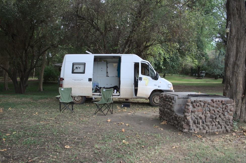
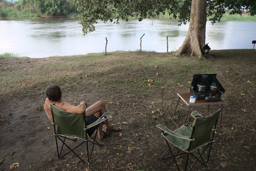
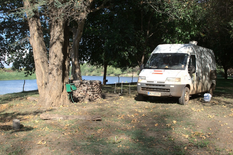
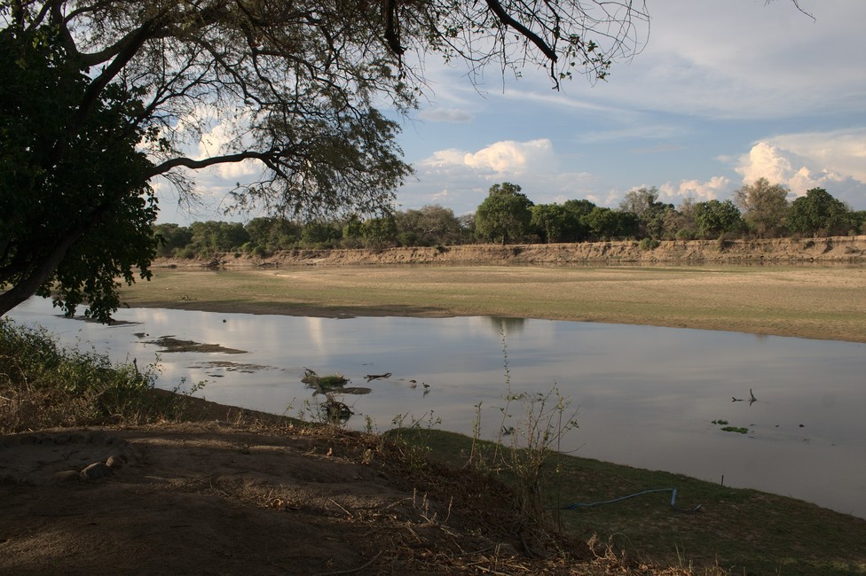
We are perfectly located on the banks of the Kafue river at the camp site Gwaabi.

Lower Zambezi National Park
Lower Zambezi National Park – campsite

Lower Zambezi National Park – campsite

Lower Zambezi National Park
Lower Zambezi National Park – campsite

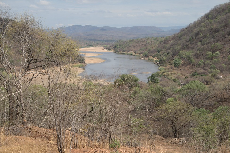
It is not the Zambezi, but the Kafue which is also very nice. A few miles from here it flows into the Zambezi river.

Lower Zambezi National Park
Kafue river close to Zambezi

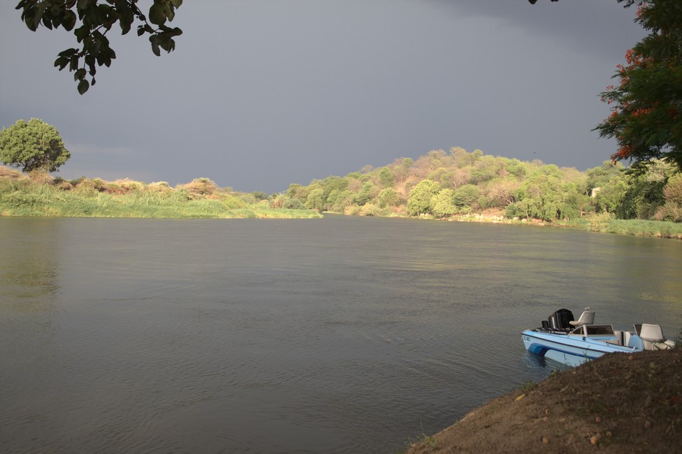
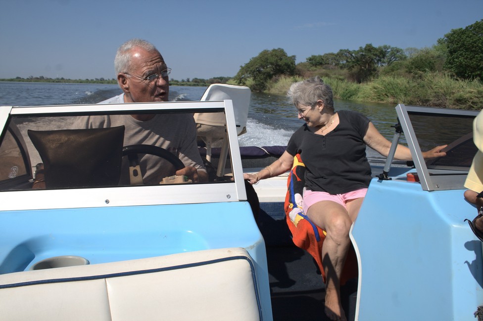
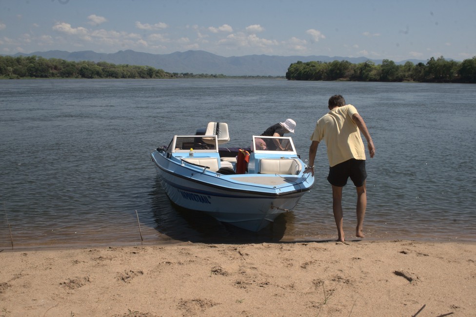
Under storm clouds, we prepare dinner. Hopefully we can make it before the rain. We get to know a couple from Lusaka, which invites us to a spontaneous boat ride. They live in Lusaka, but they come from Rhodesia, now Zimbabwe. They have their boat lying here and come here often on the weekend.

Lower Zambezi National Park
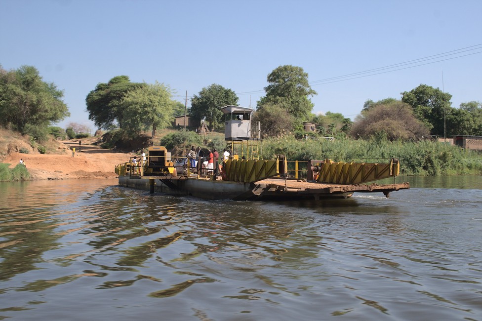
Ferry across Kafue River

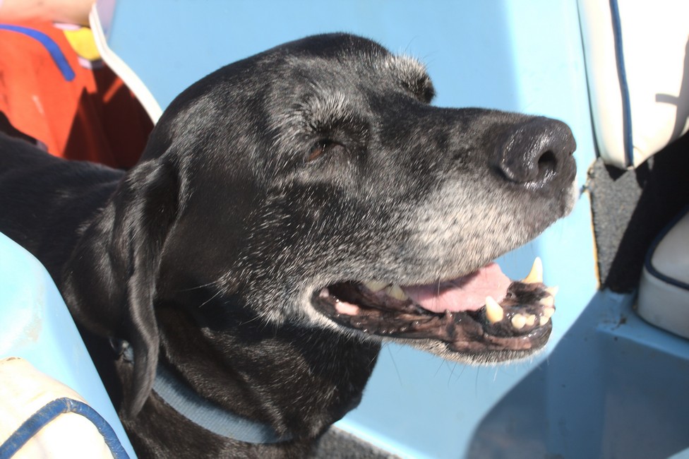
We go the Kafue downstream passing the ferry until we finally turn off on the Zambezi. Tara is on the boat as well, she obviously enjoys the cool breeze. The Zambezi River is a border river and forms the border between Zambia and Zimbabwe.

Lower Zambezi National Park
Couple from Lusaka
Lower Zambezi National Park
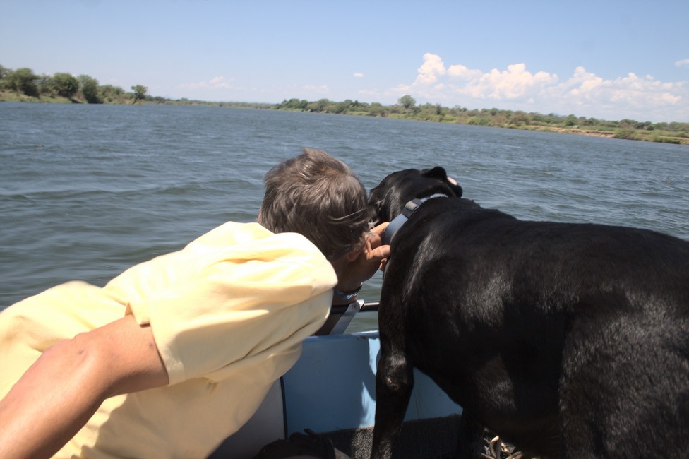
Tara enjoys the boat ride

It rises in the east of Zambia and is essentially formed by the rivers Kolomo, Matetsi and Kwai, which discharge into the Lake Kariba, and from Lake Kariba, the river is called Zambezi. It flows through Zambia and Mozambique where it flows into the Indian Ocean.

Lower Zambezi National Park
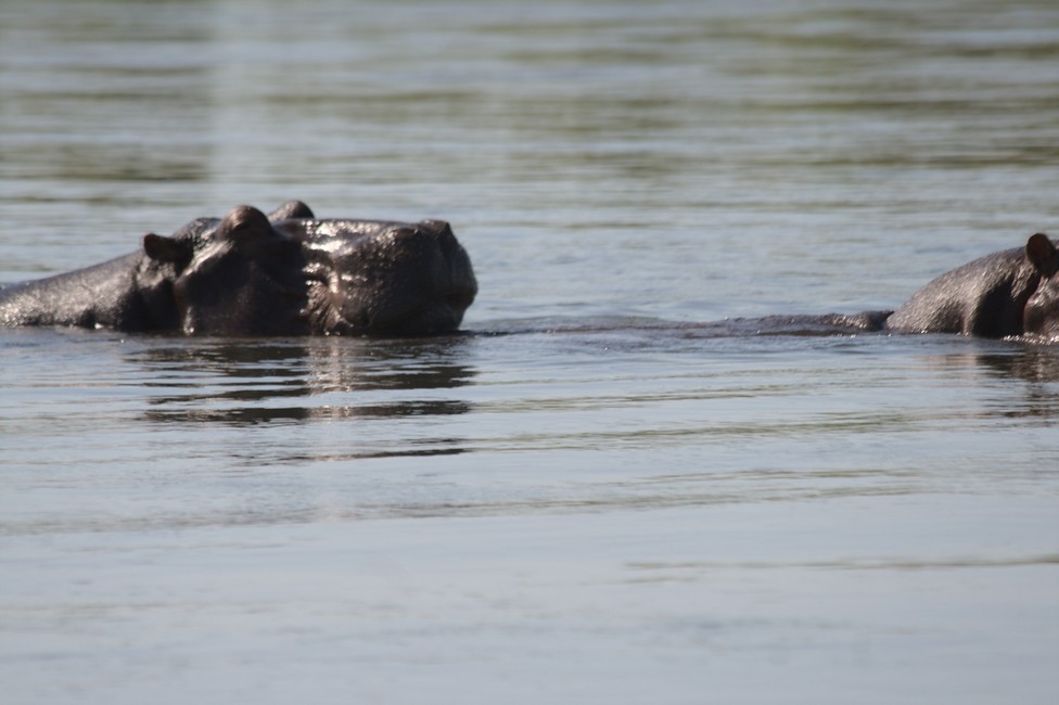
Hippos from the boat on Zambezi

We pass a group of hippos and pass quite close to the shore to Zimbabwe, where I am amazed that there are no border controls or water police, patrolling the frontier.

Lower Zambezi National Park
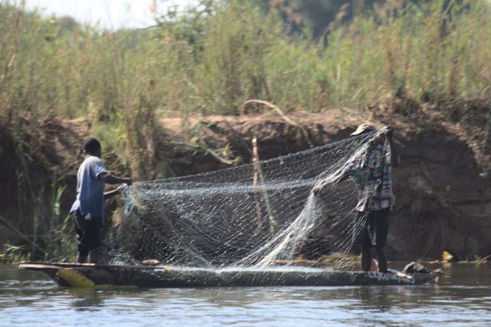
Fisher men on Zimbabwe side

And again we come across a group of Hippos. We drive slowly closer, not too close, that could be dangerous. We make a rest at a sand bank in the middle of the Zambezi. We walk around alert of possible crocodiles, but Tara wanted to get out as well, for her sandy beach and water is pure pleasure.

Lower Zambezi National Park
Sand bank in Zambezi River
Lower Zambezi National Park
Tara on the Zambezi

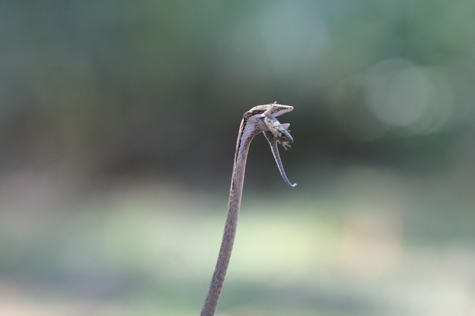
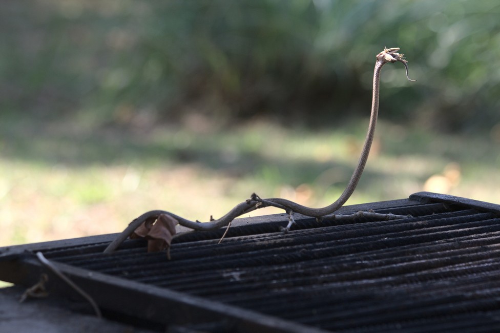
After a few hours we return to the campsite. It was a great boat trip, dinner is prepared now. We do not sit for five minutes a snake suddenly falls from the tree, in front of our feet.

Lower Zambezi National Park
Snake on the barbecue
Lower Zambezi National Park
Snake on the barbecue

It has a lizard in its mouth, apparently it fell from a tree while hunting. We do not know which kind of snake it is. The head shape does, however, point out that it is venomenous. In any case we were lucky because it has already made ​​prey.

It is obviously irritated by our presence, but begins to devour its prey. It looks quite interesting as the lizard continually moves through its body.

Lower Zambezi National Park
camp

Lower Zambezi National Park we will never forget this great place.

A comprehensive overview for planning an overland journey can be found in Overlanding Zambia.
Previous

Next

Lusaka, Zambia 099

Quickly we want to get to Lusaka, the capital of Zambia. We cross the Luangwa river again, hundreds of kilometers later, and cross it on a fairly new bridge.

Lusaka
The Luangwa near Lusaka

By late afternoon we reached Lusaka, especially at rush hour, so we push our way through the dense city traffic.

Lusaka
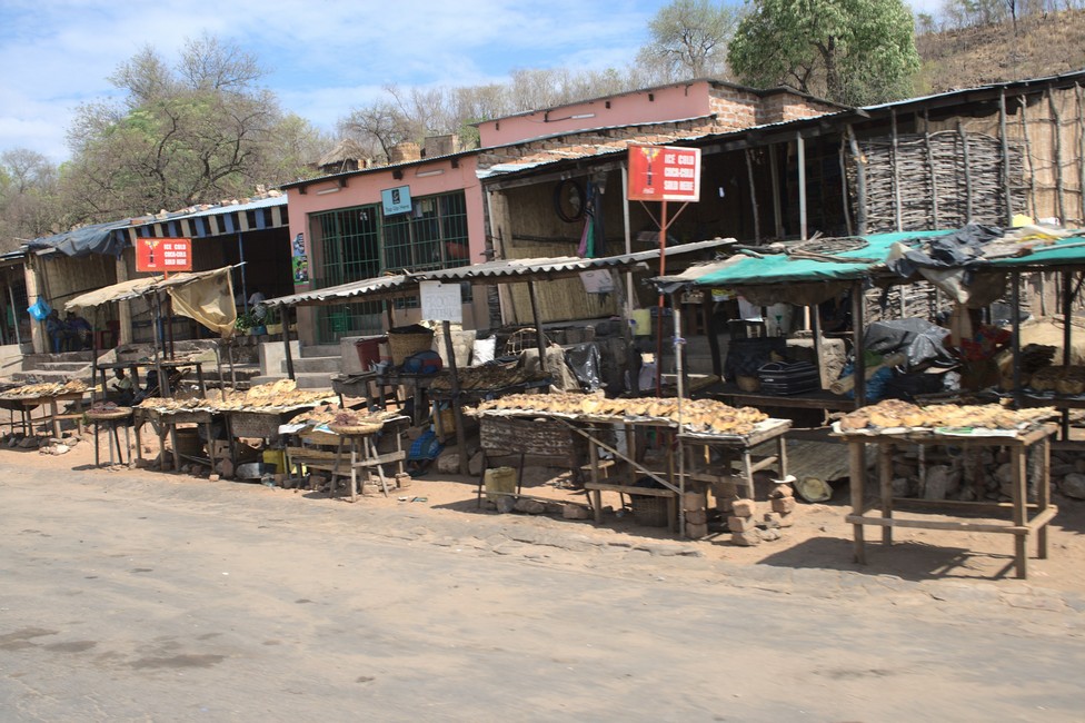
Foodstall along the road

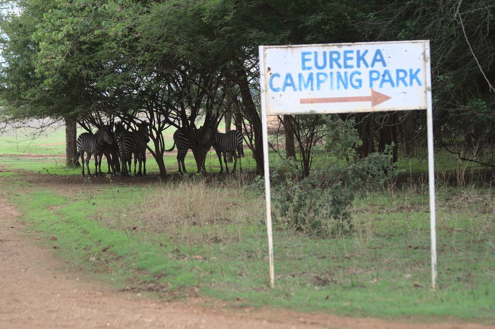
Outside the city, we remain at the Eureka camp. The plots are well equipped with shelter, barbecue area and power connector on lush green grass. We are astonished as we discover zebras grazing on the camp site. I try to get closer, let’s see how close they let me go. Their flight distance is short. They are not pets, but you realize that they are accustomed to humans.

Lusaka
Lusaka – Eureka Camp

Lusaka is the capital and largest city of Zambia, located in the southern part of the country. With a population of over 3 million people, it is the commercial and political center of Zambia.

The city has a rich history, dating back to the 5th century AD when it was a small village. It grew in importance during the colonial period as a trading and administrative center for the British South Africa Company. After Zambia gained independence in 1964, Lusaka became the capital of the newly formed country.

Today, Lusaka is a bustling and vibrant city, with a mix of modern and traditional architecture. It has a number of cultural and historical sites, such as the Zambia National Museum, which features exhibits on the country’s history and culture, and the Freedom Statue, a monument dedicated to Zambia’s struggle for independence.

Lusaka is also a hub for business and commerce in the region, with a number of multinational corporations, banks, and international organizations based in the city. It has a growing arts and music scene, with a number of galleries, theaters, and live music venues.

Overall, Lusaka is a dynamic and growing city, with a mix of modern amenities and traditional Zambian culture, making it an interesting and vibrant place to visit.

But you cannot compare it to European Cities as there is no real historical center, and the so called centers make the impression of villages. All of the African Cities.

A comprehensive overview for planning an overland journey can be found in Overlanding Zambia.
Previous

Next

Luangwa National Park 098

The next morning we drive to a different section of the South Luangwa National Park. To make the confusion complete the whole park is called Luangwa National Park, which consists of a Northern and Southern Part. We want to continue south along the river, but the bridge is washed away, so we turn and settle on the Wildlife Camp Site.

Luangwa National Park
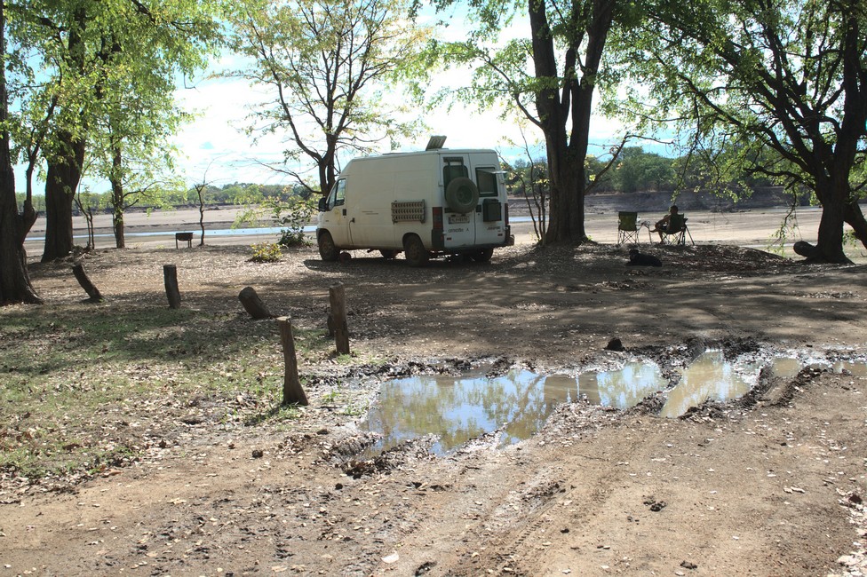
Luangwa National Park Campsite

Here the river forms at the opposite bank flat access to the water, which promises good wildlife viewing. But it’s only noon, we have to wait for the late afternoon.

Luangwa National Park
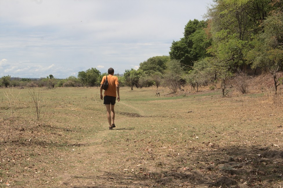
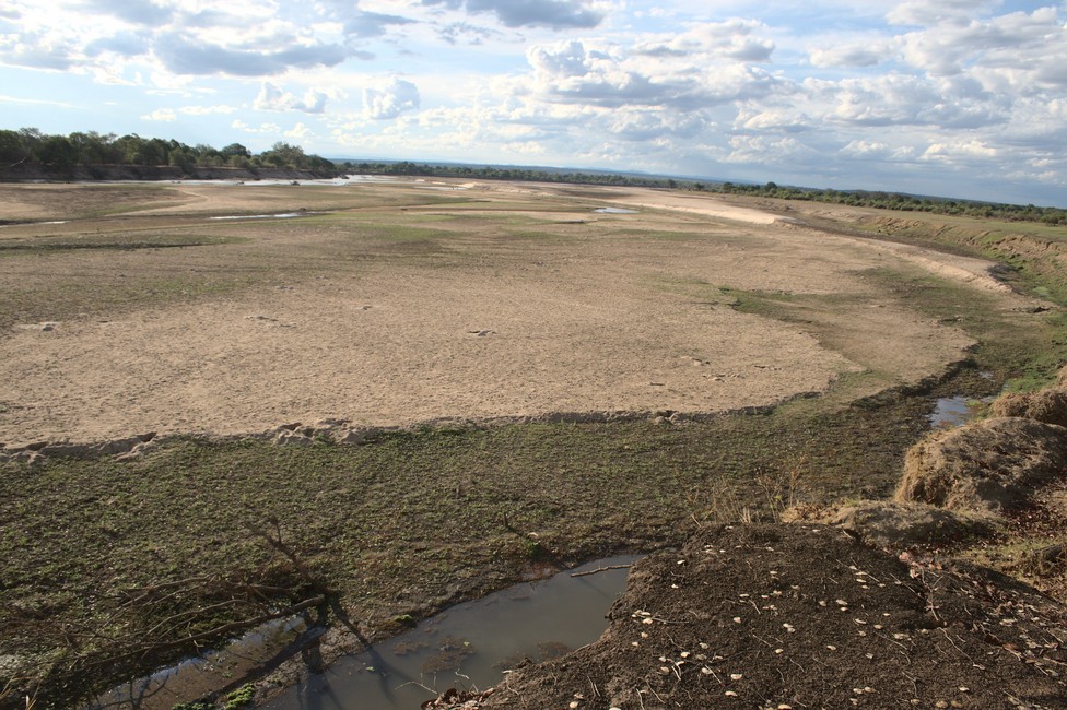
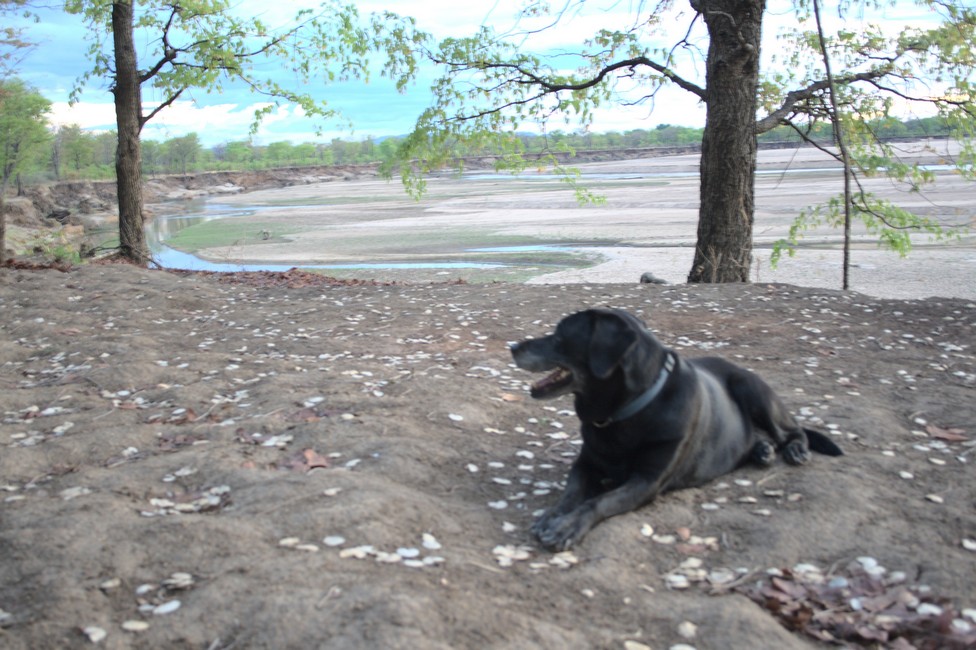
Walking along the dry river bed

Luangwa National Park is a wildlife reserve located in eastern Zambia, in the Luangwa River Valley. It covers an area of over 9,000 square kilometers and is one of the most remote and unspoiled wilderness areas in Africa. The park is home to a diverse array of wildlife, including elephants, lions, leopards, giraffes, hippos, crocodiles, and over 400 species of birds.

Luangwa National Park
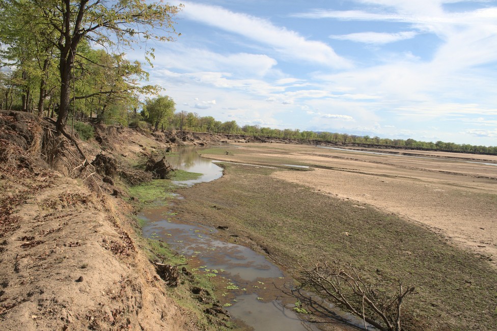
Luangwa River Bed

Luangwa National Park is renowned for its walking safaris, which allow visitors to experience the park’s wildlife and stunning scenery on foot. These safaris are led by experienced guides and offer a unique and immersive experience of the African bush.

Luangwa National Park
Luangwa River Bed

The park is also famous for its night safaris, which offer the opportunity to see nocturnal animals such as hyenas, genets, civets, and leopard hunting. Game drives, canoe safaris, and birding tours are also available, providing a variety of ways to experience the park’s wildlife.

Luangwa National Park
remaining water pools

Overall, Luangwa National Park is a must-visit destination for anyone interested in wildlife and nature, offering a chance to experience the beauty and diversity of African wildlife in its natural habitat.

Luangwa National Park
river bed

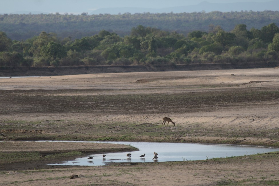
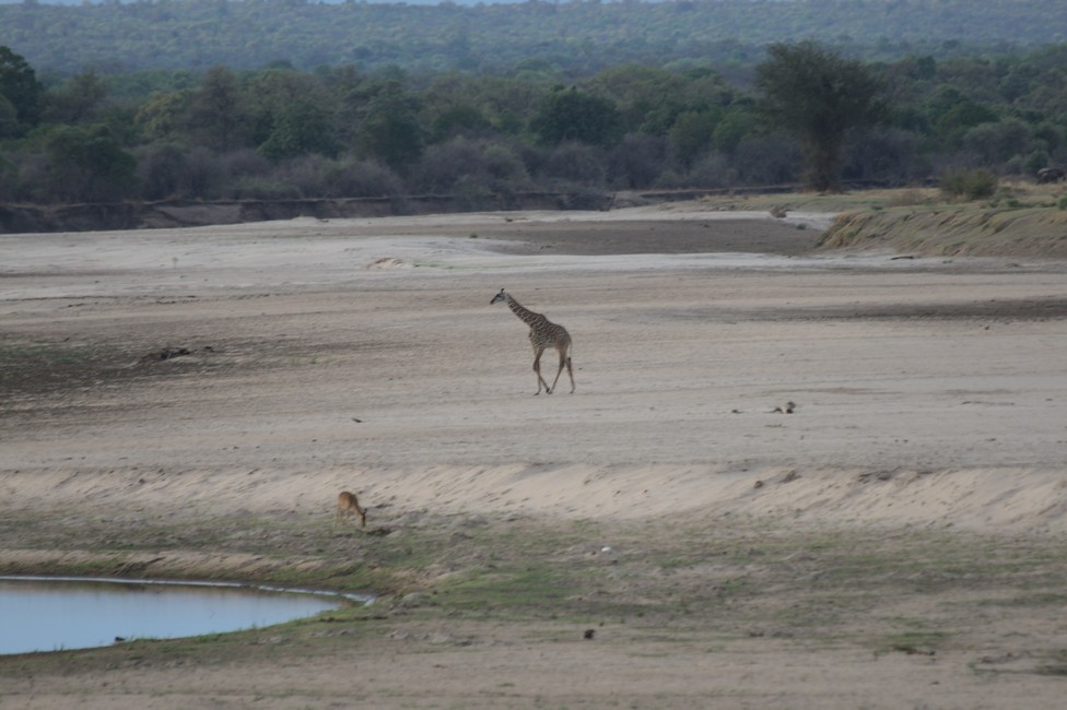
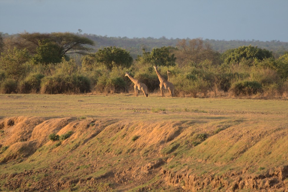
At about 5 o’ clock, the first antelope appear at the water holes of the river. A lone hippopotamus in the distance comes out to graze on land. A group of giraffes hesitantly approaches the water. Here are the Thomicroft’s giraffe, it is more delicate than their relatives, and has a darker, distinct spot pattern, which is lost in the bright legs.

Luangwa National Park
river bank

It is evening and we heat our Tanzanian charcoal barbecue. Today, there are delicious grilled steaks. As usual with a glass of wine, we enjoy the evening atmosphere.

Luangwa National Park
Tara enjoys

A comprehensive overview for planning an overland journey can be found in Overlanding Zambia.

Previous

Next

South Luangwa National Park – Zambia 097

South Luangwa National Park is our next destination. In pouring rain in the morning we drive from Dezda Pottery to the capital of Malawi, Lilongwe, and from there on to the border of Zambia. Malawi has given us much, we are looking forward to Zambia.

We have come through the border well, but had to wait for the official veterinarian, who did not come, so they just checked our yellow fever vaccination.

In Chipata, the border town, we go to the campsite. It is not bad, we can rest in the shade and plan our trip to the South Luangwa National Park.

Although there are only a little over 100 kilometers, you need an entire day.

The condition of the road changes from good to sometimes miserable, but nicely landscaped.

South Luangwa National Park
Village before South Luangwa NP

To our great surprise far from any civilization, there are occasionally villages. And the surprise is even greater when we encounter tarmac a few kilometers outside the Luangwa National Park. We accommodate in the Croc Valley Lodge, on the banks of the Luangwa river.

South Luangwa National Park
Campsite at Croc Valley Lodge

And be warned immediately. We must give all vegetarian food to the bar, because an elephant visits the lodge occasionally and turns cars on their roofs when the elephant smell fruits or vegetables in the car and cannot get it. We leave everything at the bar, but are not scared, because we have found a great place with even better views.

South Luangwa National Park
Hard to believe Elephants fit into the bar of the Lodge

We sit right on the banks of the river and enjoy the evening beauty of the landscape. In the trees, the monkeys are cursing, they are not excited by our arrival.

South Luangwa National Park

The Luangwa is one of the most pristine rivers in Africa. Steep, barely accessible mountain slopes of the mighty Muchinga Escarpment protect the valley. The river meanders and is constantly changing its course. Each year, it eats further into the sandy river bank. Several lodges have been over the years washed away by the rushing river.

South Luangwa National Park
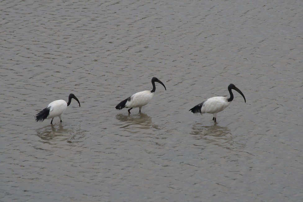
Birds in the River

The park is accessible all year round, but many lodges are open only during the dry season from May to October.

The fauna is very diverse. Impala, waterbuck, zebra, kudu and many other species of antelope can be seen here.

About 400 bird species are represented here.

We enjoy the atmosphere here, we like the South Luangwa and we decide to stay a little longer in this area. With a good glass of wine in front of a magnificent natural background we will finish off the busy day.

A comprehensive overview for planning an overland journey can be found in Overlanding Zambia.
Previous

Next

Dezda Pottery 096

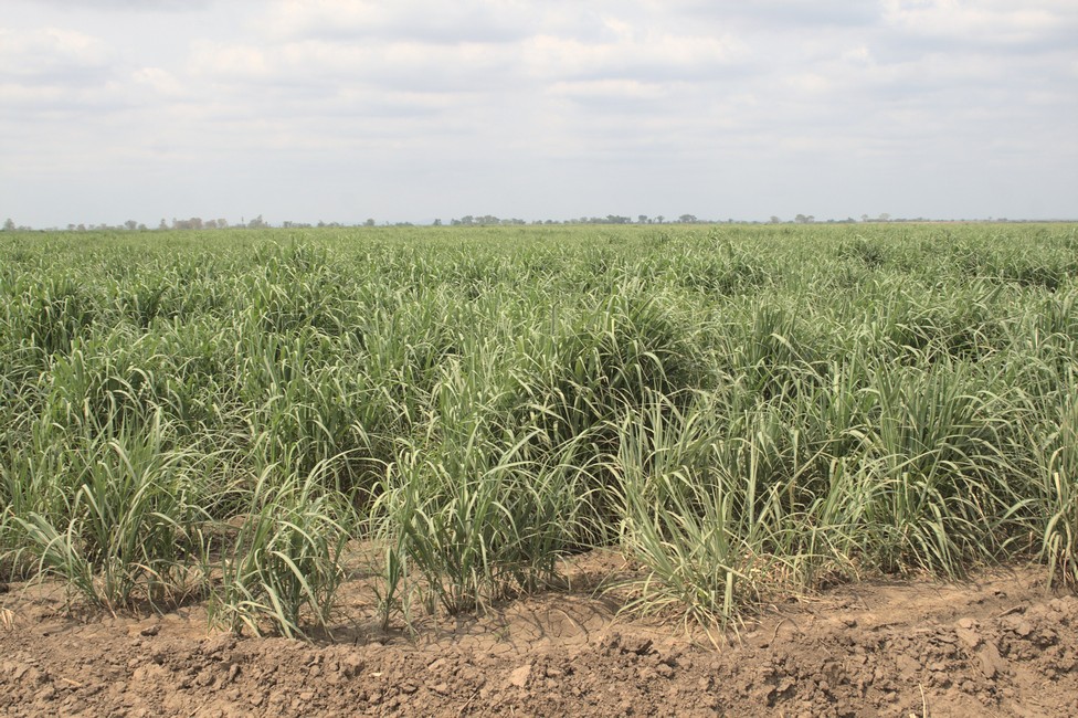
We are on the way to the Dezda pottery. First, the route leads through vast sugar cane fields, through small villages until it leads up in mountainous areas.

Dezda Pottery
Sugar cane fields

On a truck party is held. No matter what the circumstances, the Africans know how to party and be happy. We wave back and forth, have fun, we finally overtake, the truck is too slow.

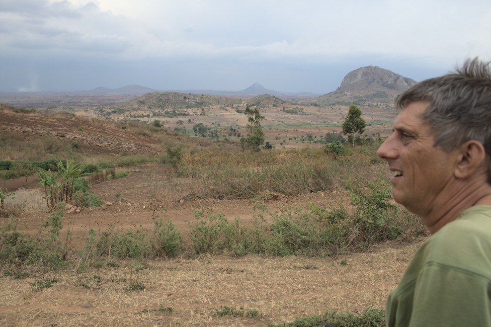
Occasionally we stop, because the scenery is great and the clouds atmosphere and dawn add to the beauty.

Dezda Pottery
Great Landscape Malawi

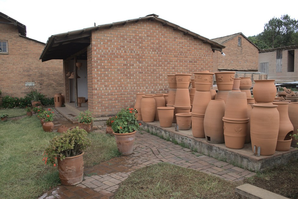
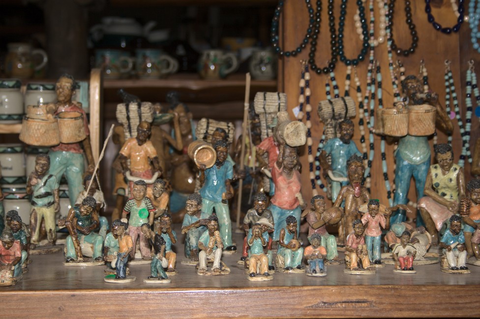
Just before nightfall, we arrive at the campground at the pottery. Unfortunately today it is not operating, so we can not see the workers, but we can take a look at their products.

Dezda Pottery
Dezda Pottery

It was established in 1984 by the Dedza Pottery Trust, a non-profit organization that aims to promote the development of the Malawian pottery industry and provide employment opportunities for local people.

The workshop produces a wide range of pottery and ceramics, including hand-crafted plates, bowls, mugs, and vases, as well as decorative items such as figurines and sculptures. The pottery is made using locally sourced clay and traditional techniques, and each piece is unique.

Dezda Pottery
Dezda Pottery Art

Dezda Pottery also offers training and apprenticeship programs for aspiring potters, as well as community outreach programs that teach pottery skills to disadvantaged groups such as women and youth. The workshop has played a significant role in promoting Malawian pottery and supporting local artisans, and its products are sold both locally and internationally.

Malawi pottery is a traditional craft that has been practiced in Malawi for centuries. It is a vital part of Malawi’s cultural heritage and is closely linked to the country’s history and identity.

The pottery in Malawi is often made using locally sourced clay and traditional techniques. The pieces are usually handcrafted and decorated with intricate patterns and designs. Some of the most common items produced by Malawian potters include plates, bowls, mugs, vases, figurines, and sculptures.

The pottery industry in Malawi has undergone significant changes over the years, with many modern potters incorporating new designs and techniques into their work. In recent years, there has been a growing interest in Malawian pottery both locally and internationally, and many potters are now selling their work online and through international exhibitions.

Previous

Next

Zomba Plateau and Lengwe National Park 095

Zomba Plateau

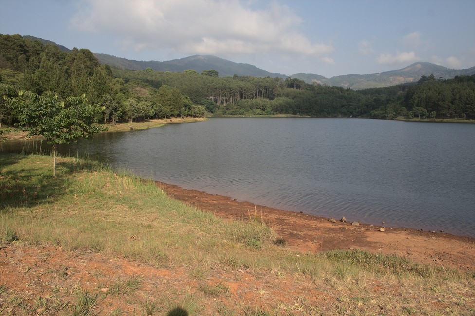
Gradually, the road winds high up to the Zomba Plateau. Already at the end of the 19th Century the forests were created here. The protected area comprises 47 Quatratkilometer and has a height of 2087 meters above sea level. The campground is located at 1,500 meters. The climate here is cool, there is often a thick fog.

Zomba Plateau
Zomba Plateau Trout Camp

At the campsite I look at the damage more closely. The cut extends from the front to the entire length of the vehicle. Only body damage, now it looks like an African car. Here no one is fussy with cars.

Zomba Plateau
Zomba Plateau looks like Austria

The Trout Farm Campsite is situated in a clearing in the woods. Beautiful lush green plants, a rivlet running through the camp site, you might be in Switzerland. But it is bitterly cold here and we move quickly in the hot lowlands of Malawi.

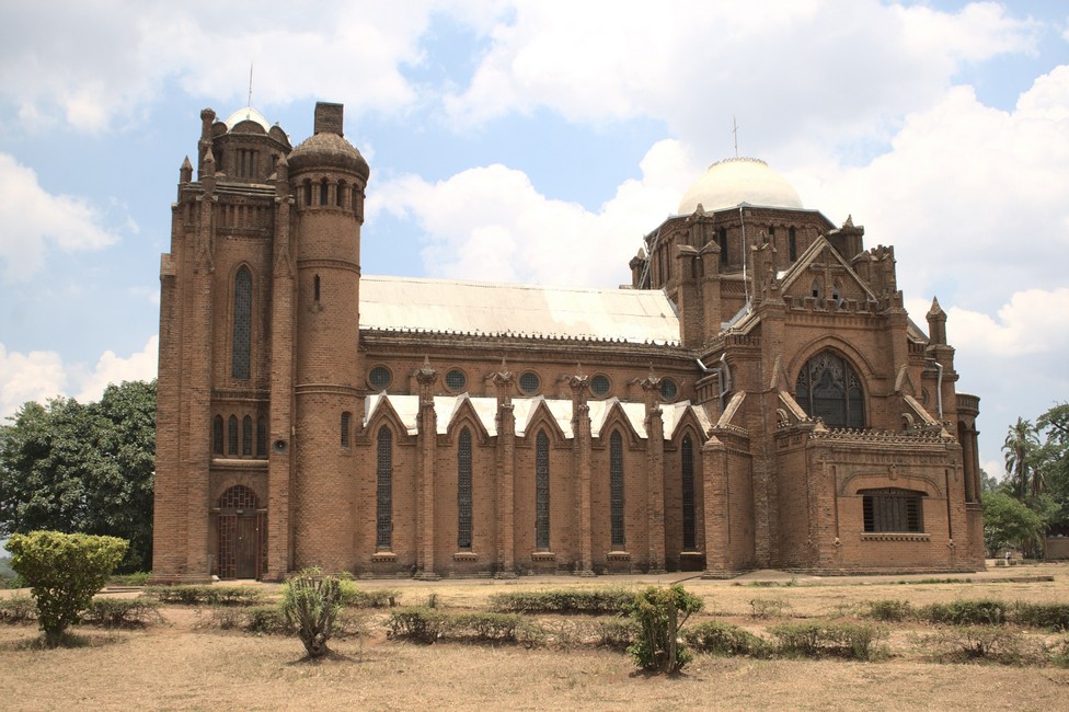
We go to Blantyre to marvel at the church. Built around 1890 by Reverend Scott without the knowledge of a architecture at all – Angels Church. It is the landmark Blantyres.

Zomba Plateau
Blantyre – one of the rare churches in Africa

Lengwe National Park

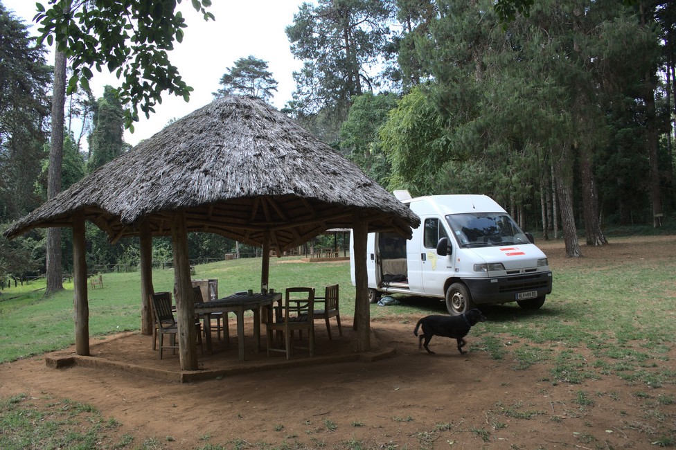
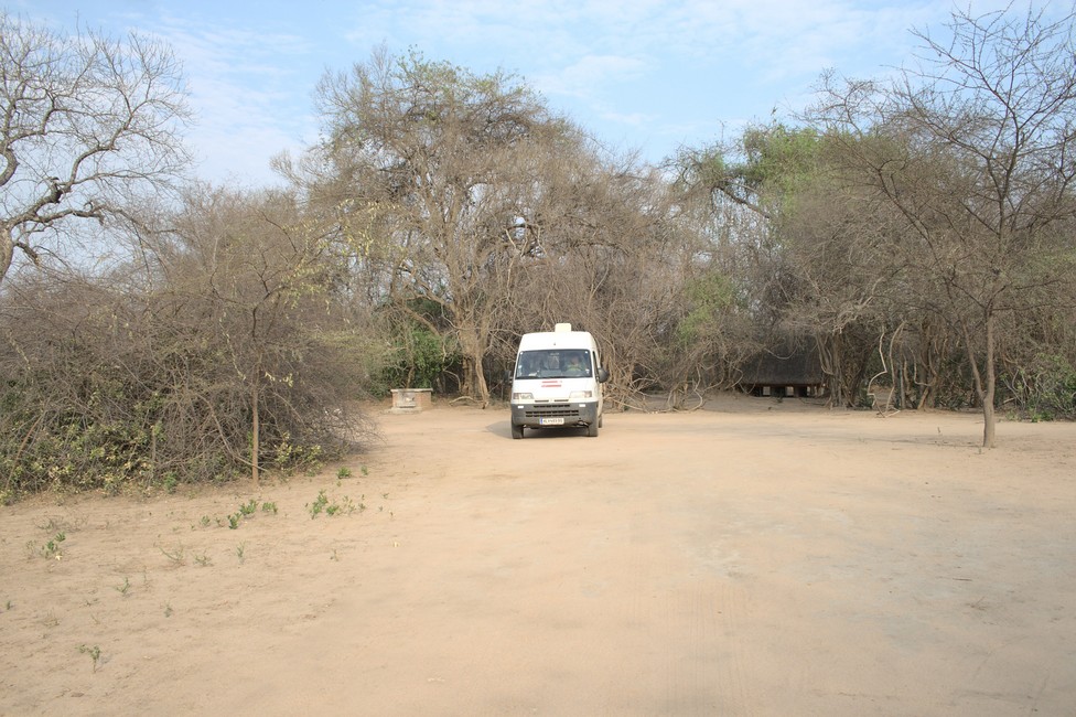
On a mountain road, we descend into the plains to the National Park Lengwe It is stiflingly hot, and we find a place in the shade at the campground.

Lengwe National Park
Lengwe National Park – campsite

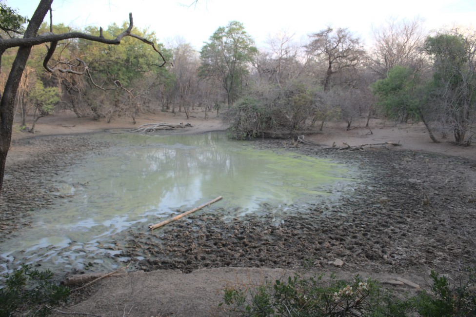
It was not until the late afternoon when we drive to a nearby lookout in the woods. The outlook is well camouflaged in the bushes, and allows a view of a waterhole. Patiently, we wait.

Lengwe National Park
Water Hole Lengwe NP

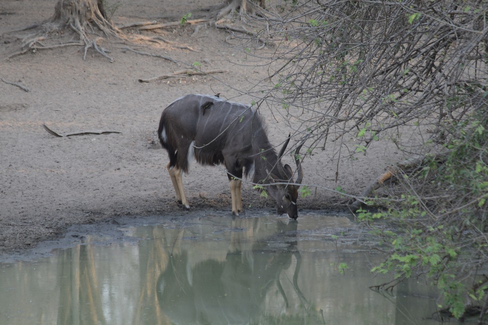
And we’re lucky. A Nyala is at the watering hole. They are up to two meters high and up to 110 kilograms. They live in small groups, preferably near water and are easily recognizable by their white stripes on the belly. They are similar to the sitatunga and bushbucks, but the stripes are more clear.

Lengwe National Park
At a water hole

We wait a bit, but it’s getting late and the water hole stays unvisited.

Lengwe National Park
On the way back to the water hole

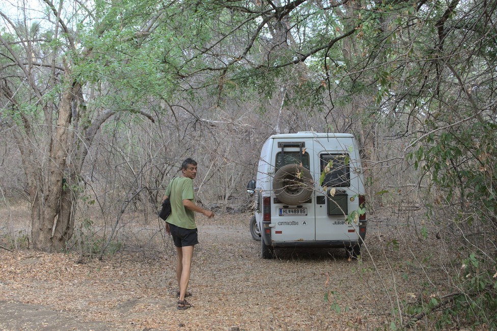
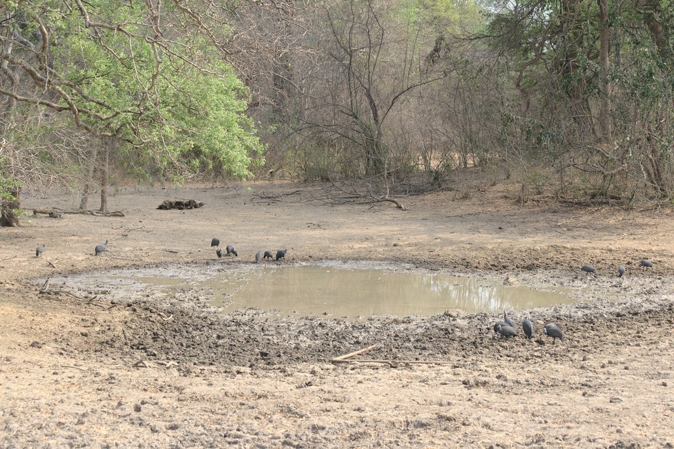
We drive back to the campsite. The next morning we want to another outlook. We stop at a giant baobab tree. Incredibly, its scope and size. We are unfortunately too late and at the second water hole not much happens anymore, so we leave the park.

Lengwe National Park
Another Water Hole

Previous

Next

Cape McLear and Liwonde National Park 094

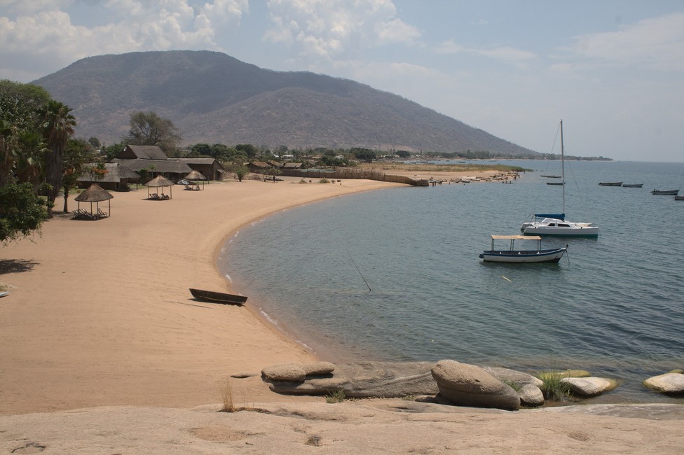
On our way to Liwonde National park we stop over at Cape Maclear in Lake Malawi National Park and the journey is interesting. The last few kilometers to the lodge, we drive through a Fishing village.

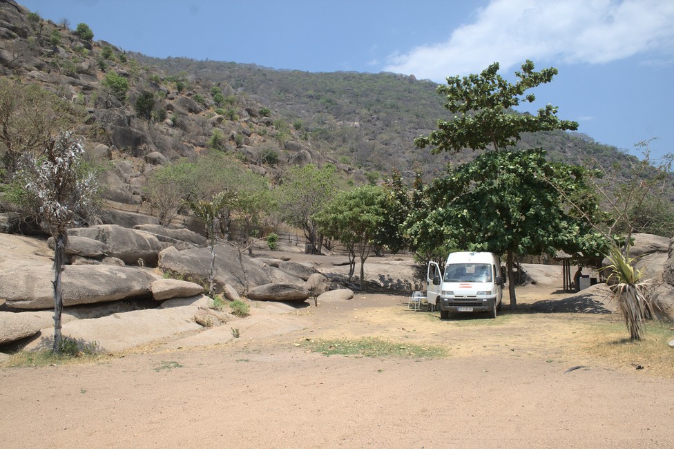
We are beautifully located on the shore next to the lodge, with good views of the Lake Malawi.

Liwonde National Park
Campsite Mclear Lake Malawi

Cape McLear
View from the campsite

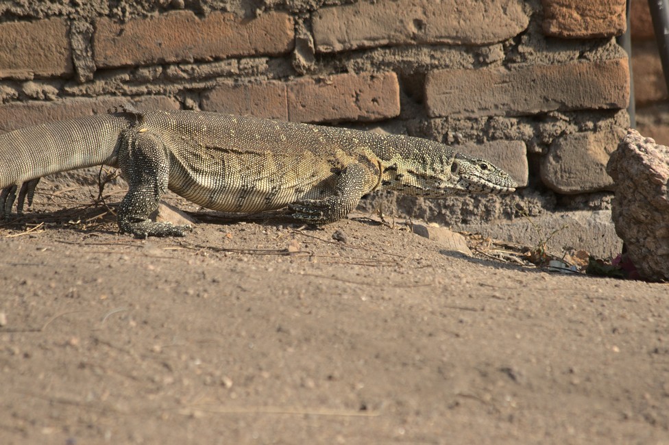
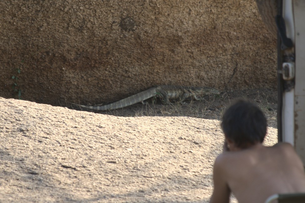
And we already attract attention. A monitor lizard is interested in us. I’m worried about Tara, because the lizard is not exactly small and a fast hunter. It eats meat, so I think about locking up Tara, but then we decide that Tara is much too rich a prey.

monitor Lizard
Monitor Lizard
monitor lizard
Monitor Lizard

Slowly it moves closer. We are excited what will happen.

Tara has discovered the lizard and is itself curious. I whistle her back. We do not want to risk a direct confrontation.

It sees the dog, but passes at a respectful distance. Too rich prey.

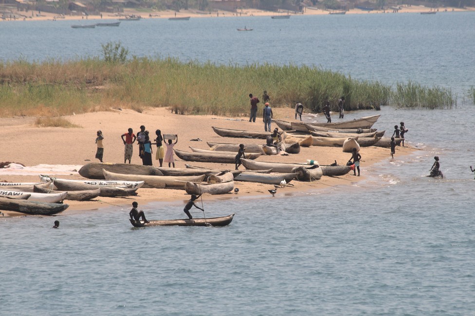
For a while we watch life on Lake Malawi, from here we only travel inland.

Lake Malawi
Fisher at Lake Malawi

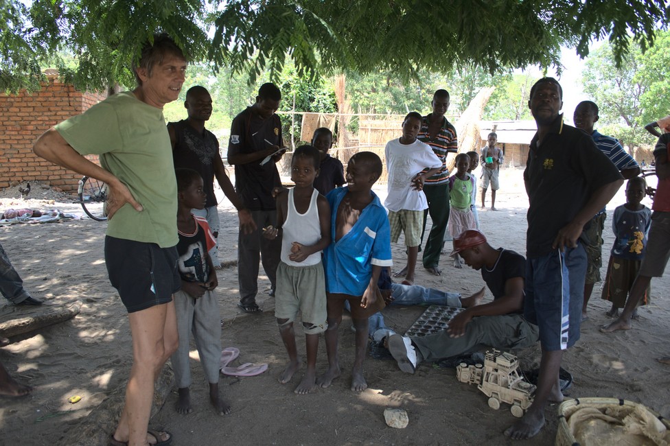
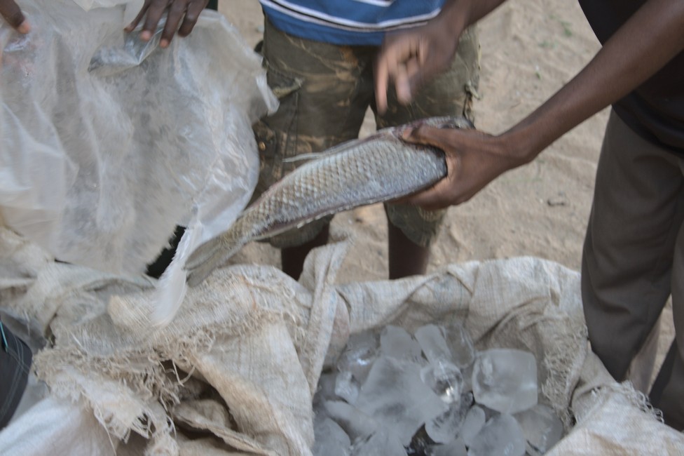
We buy fish at the roadside. The vendors prepare the fish for us. We are heading to Liwonde National Park in the south. The dinner is organized as they fillet the fish for us. The children are curious about what the foreigners do here.

fisher
Buying fish at the roadside
buying fish
Lake Malawi Fish

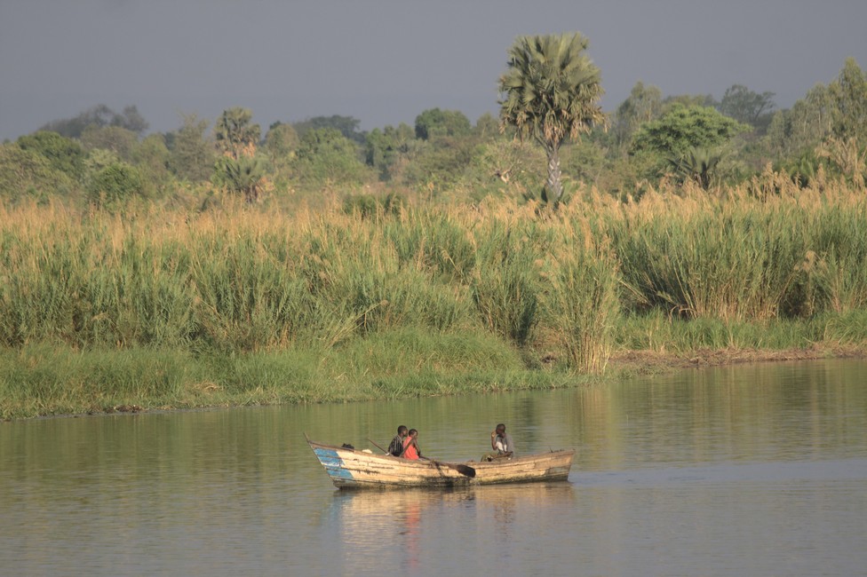
Refrigerator filled, we’re going to Liwonde, where we check in at the Guest House at the Shire River. We have a good view of the river and the fishing boats.

Liwonde National Park
Campsite at the Shire River

In the morning we are traveling in Liwonde National Park, including Tara. The landscape is very dry, although the park runs along the river.
The Liwonde Park has now largely recovered. The enchanting river landscape was once home to hundreds of elephants and hippos. Population growth and poaching troubled these wilderness. Some species, such as rhino, zebra and buffalo died out. Animal traps wounded the animals unnecessarily.

Liwonde National Park

The result was that the lions and elephants in Liwonde were the most aggressive in the whole of Africa, because they saw man as a worst enemy. Few people visited the park until 1990. The camp was neglected, underpaid rangers, the animals are very shy. International aid began to take action. A 117 km long electric fence was built, the camp has been privatized, extinct animal species have been reintegrated. In this way, the park received two rhinos.

Liwonde National Park
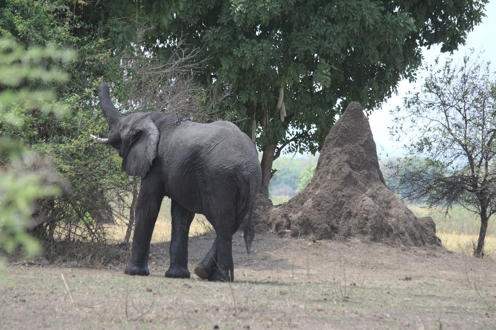
Elephant and termite hill

An the river we discover a single bull elephant. We must be careful. n Liwonde Park the chance is very high to see some of the approximately 800 elephants on the riverbank. Also, waterbuck, warthog and bushbucks like to keep to the shore.

Liwonde National Park is 550 square kilometers and was established in 1973. In the north it is bordered by Lake Malombe and the west by the Shire. The best time is from July to October, although it is often very hot in September.

Liwonde National Park
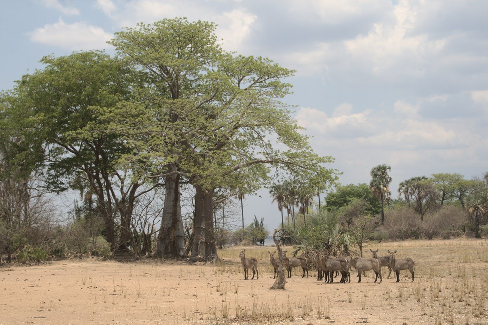
Herd of Water Bucks

On the way out an accident happens. I underestimate the resilience of a branch and damage the whole side of the vehicle. That hurts, at least it’s only an optical defect.

Previous

Next