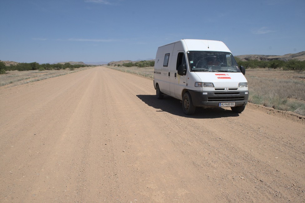
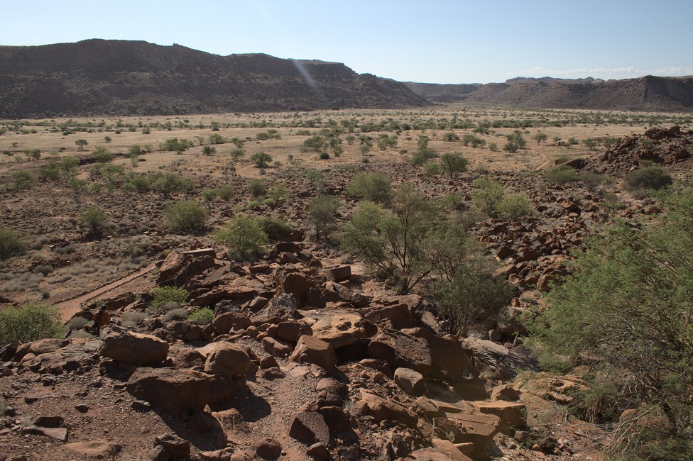
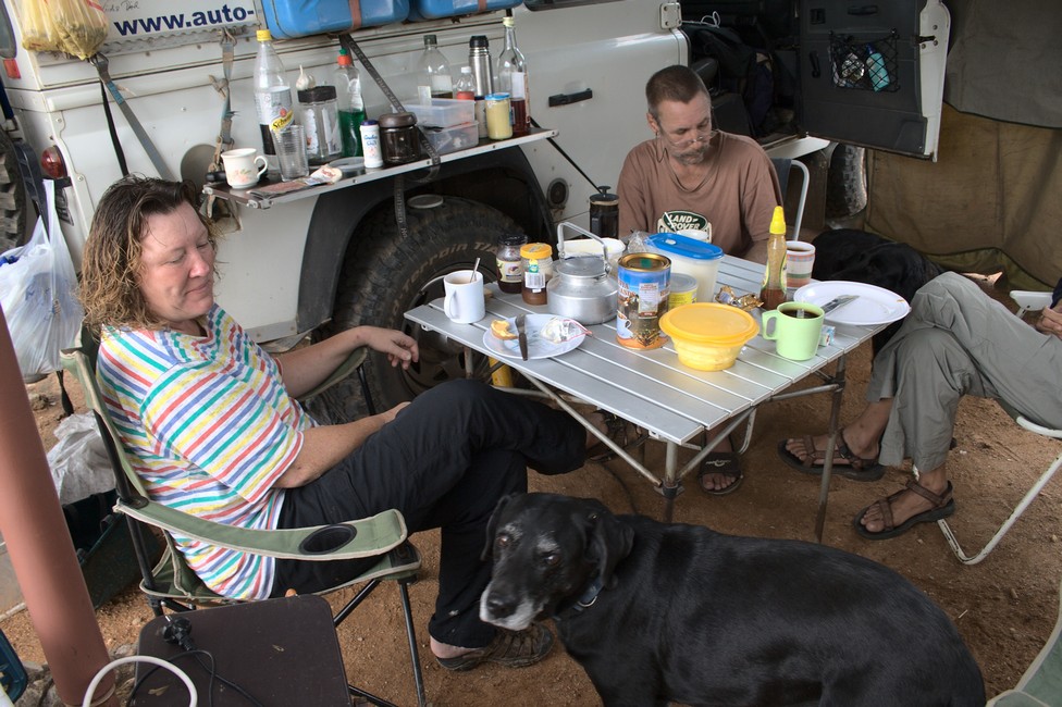
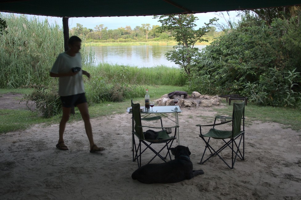
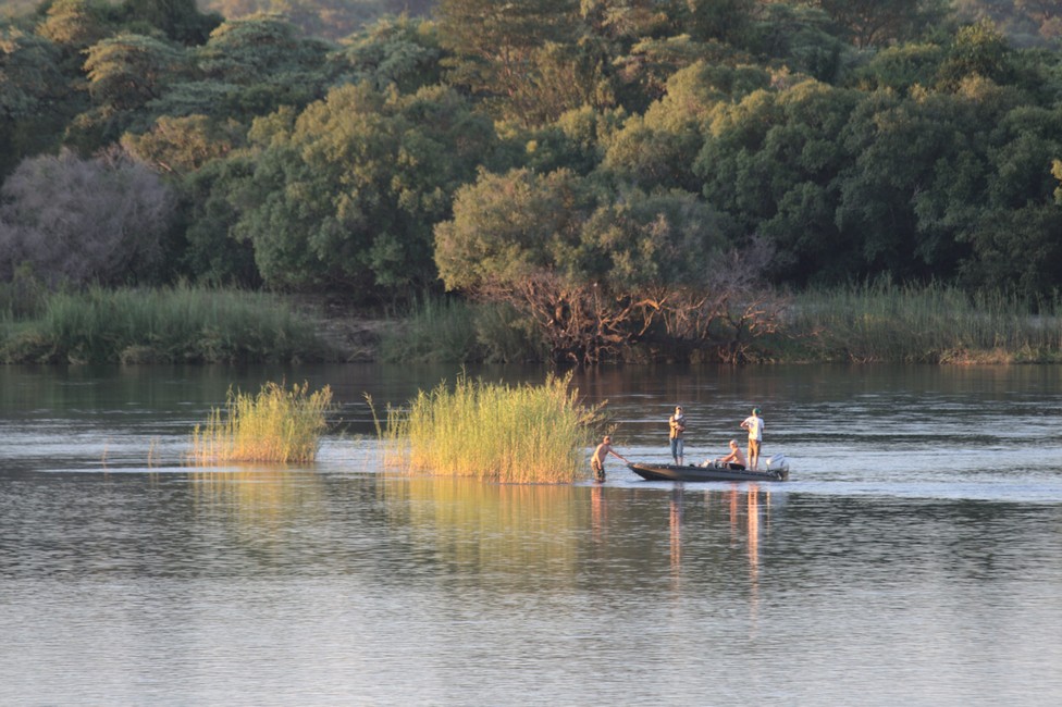
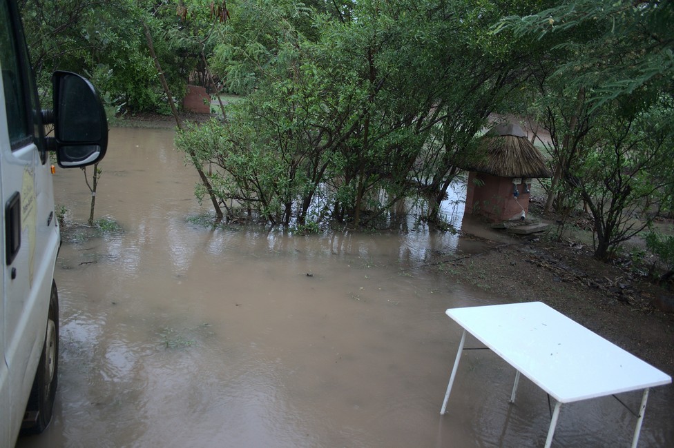
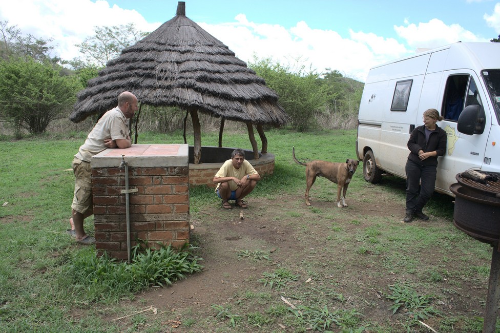
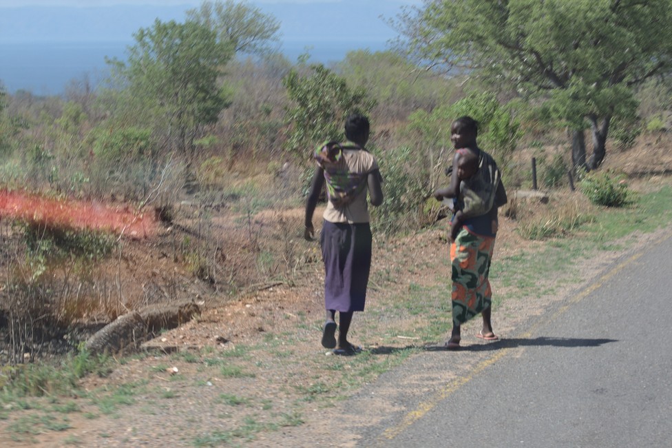
We leave Spitzkoppe and go on nice tar road through desert-like landscape to Swakopmund. We do not stay long and only do a little sightseeing.
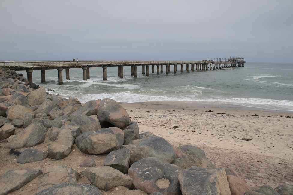
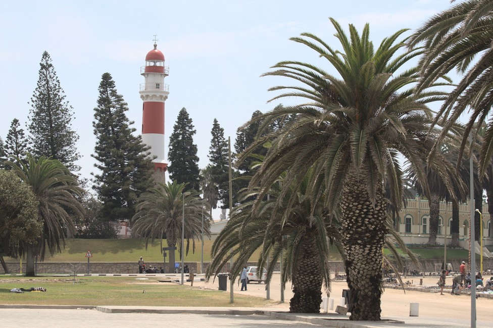
The pier was built in 1911 in the German tradition. On the jetty, as it is called, there are walkers and anglers. 1884 South West Africa as Namibia was then called, became a German colony and in 1892 Swakopmund was born, because they needed a port to transport the minerals to Germany. The city looks more like a small German town than an African city, it could also be on the Baltic or North Sea in Europe.
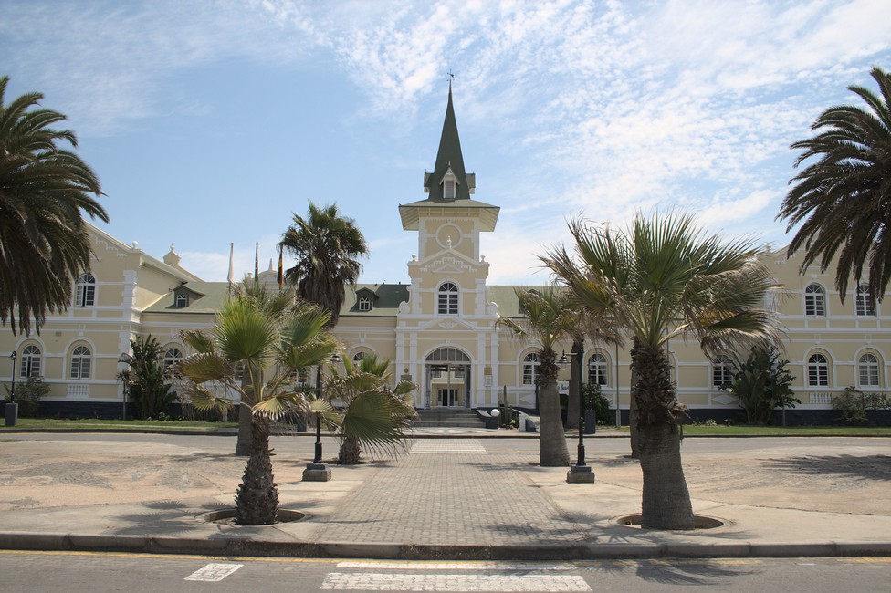
The former train station built in the Wilhelmine style, is now a luxury hotel. It was built in 1901, but soon ran out of money and was completed through a cash donation of a German privateer.
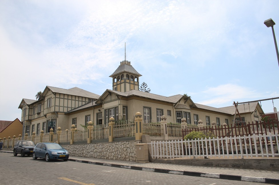
It is certainly one of the finest railway buildings of its time.
Swakopmund Facts:
Swakopmund is a coastal town in Namibia, located on the western coast of the country. It is situated about 352 kilometers (219 miles) west of the capital city, Windhoek. Swakopmund is a popular tourist destination known for its German colonial architecture, beautiful beaches, and outdoor activities.
Here are some key features and attractions of Swakopmund:
- German Influence: Swakopmund showcases its rich German colonial history through its architecture, with many buildings reflecting a distinct German style. The town has a unique blend of African and European cultures.
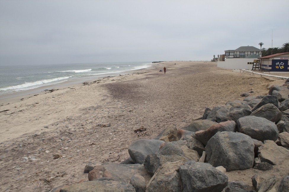
- Beaches: Swakopmund is famous for its scenic beaches along the Atlantic Ocean. The coastline offers opportunities for sunbathing, leisurely walks, and water sports such as swimming, surfing, and kiteboarding.
- Adventure Activities: The town is a hub for adventure seekers. Visitors can enjoy activities like quad biking, sandboarding, skydiving, dune buggy rides, and camel riding in the nearby Namib Desert. Swakopmund is often referred to as the adventure capital of Namibia.
- Swakopmund Museum: The Swakopmund Museum provides insights into the history, culture, and natural heritage of the region. It houses exhibits on Namibian fauna, indigenous peoples, colonial history, and geology.
- Kristall Galerie: This unique gallery is dedicated to minerals and gemstones found in Namibia and the surrounding region. It displays a wide variety of exquisite crystals and gemstones, including quartz, tourmaline, and amethyst.
- National Marine Aquarium: Located on the beachfront, the National Marine Aquarium showcases the diverse marine life found along the Namibian coast. Visitors can observe various species of fish, sharks, turtles, and other marine creatures.
- Swakopmund Jetty: The iconic Swakopmund Jetty stretches out into the ocean, offering panoramic views of the coastline and serving as a popular spot for strolling, fishing, and enjoying the sunset.
- Shopping and Dining: It boasts a range of shops, boutiques, and craft markets where visitors can find unique souvenirs, local artwork, and handcrafted jewelry. The town also offers a wide selection of restaurants, cafes, and bars serving a variety of cuisines.
- Day Trips: It serves as a gateway to many exciting day trip destinations. Visitors can explore the nearby Namib-Naukluft National Park, home to the famous Sossusvlei and Deadvlei desert landscapes, or embark on a boat tour to see seals, dolphins, and marine bird colonies along the coast.
Swakopmund’s mild coastal climate, picturesque surroundings, and range of activities make it a popular vacation spot for both locals and international tourists.