Lake Kasenda – Crater Lake 078

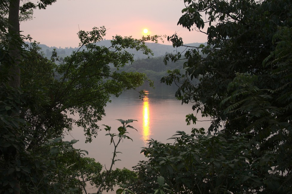
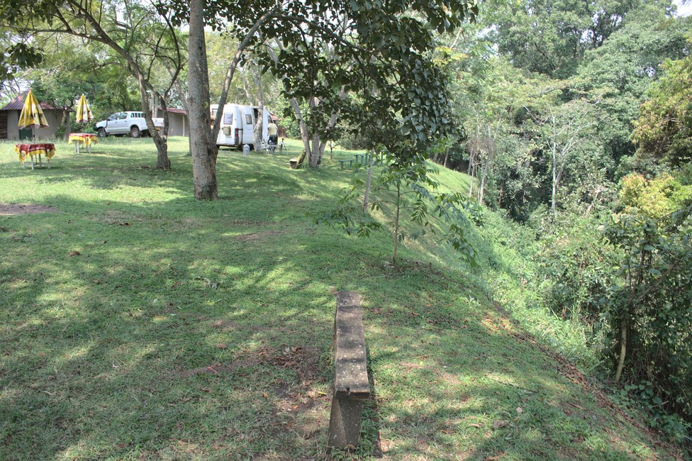
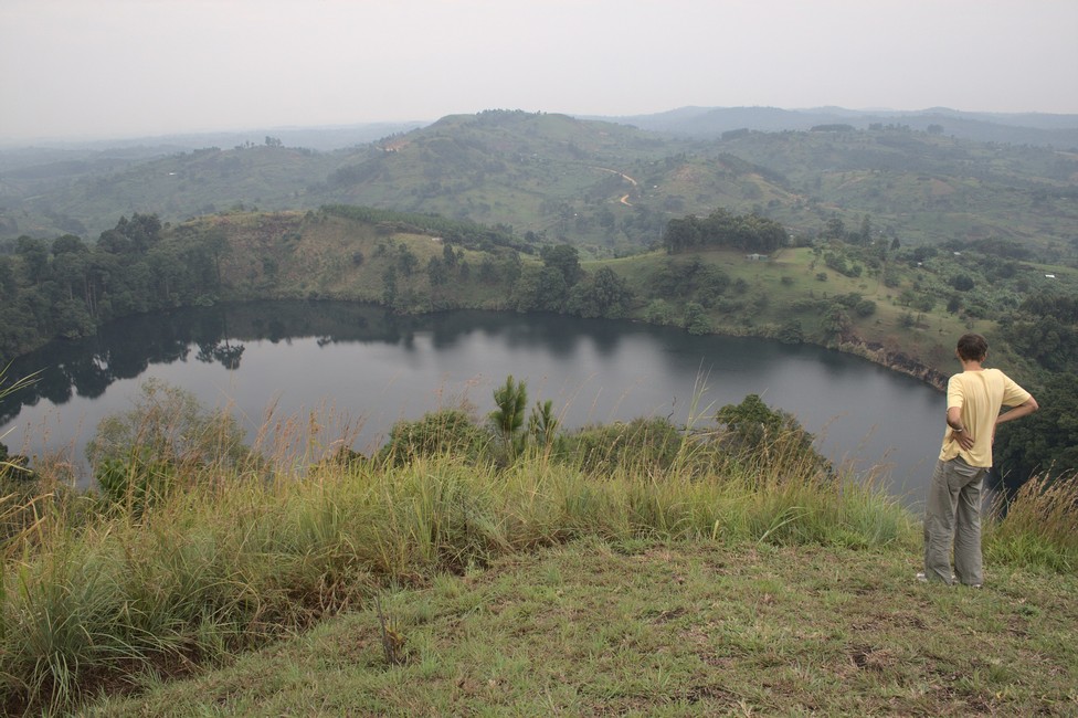
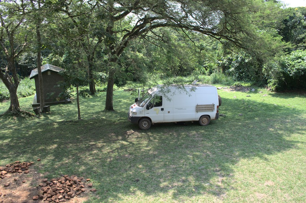
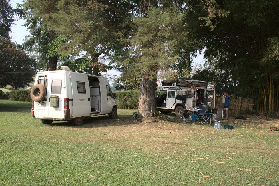
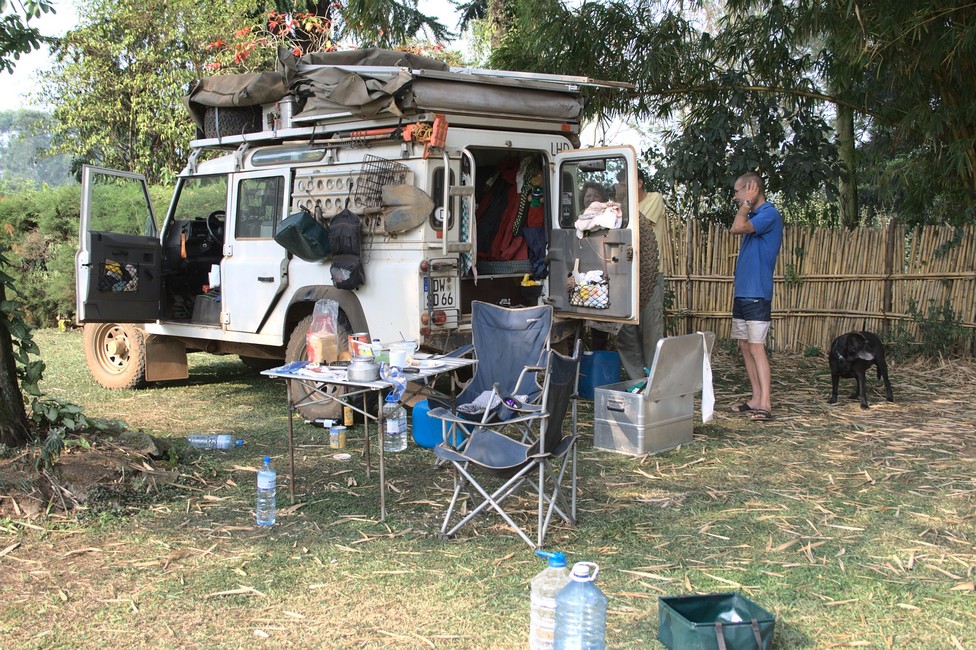
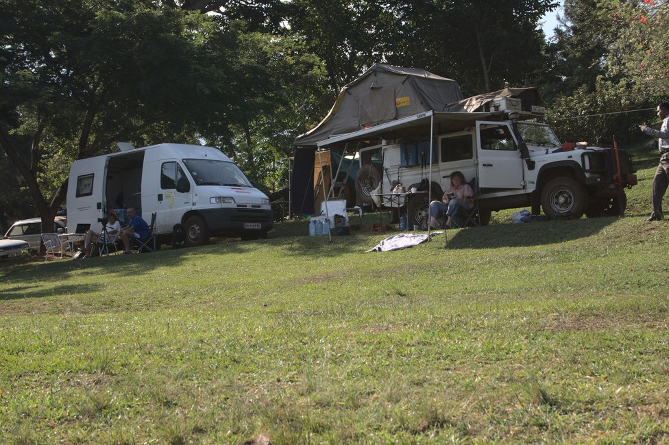
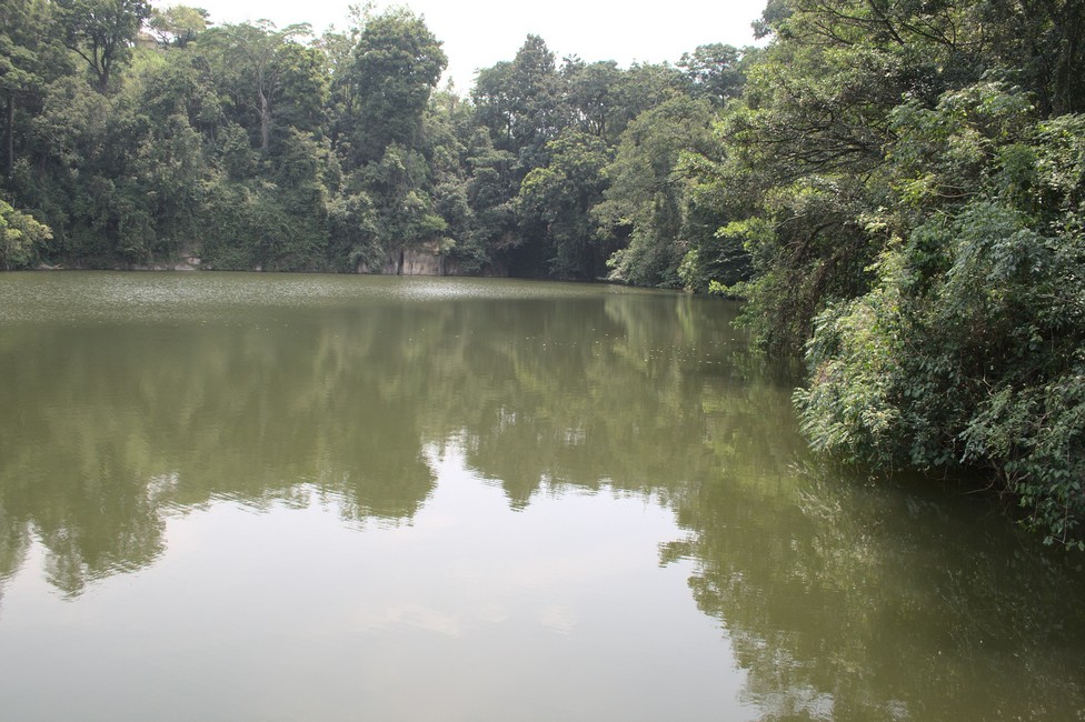
A crater lake is still on our agenda. To Lake Kasenda a narrow forest path leads to the campsite. It is on the level of the water surface, which will be fatal as we soon will see.
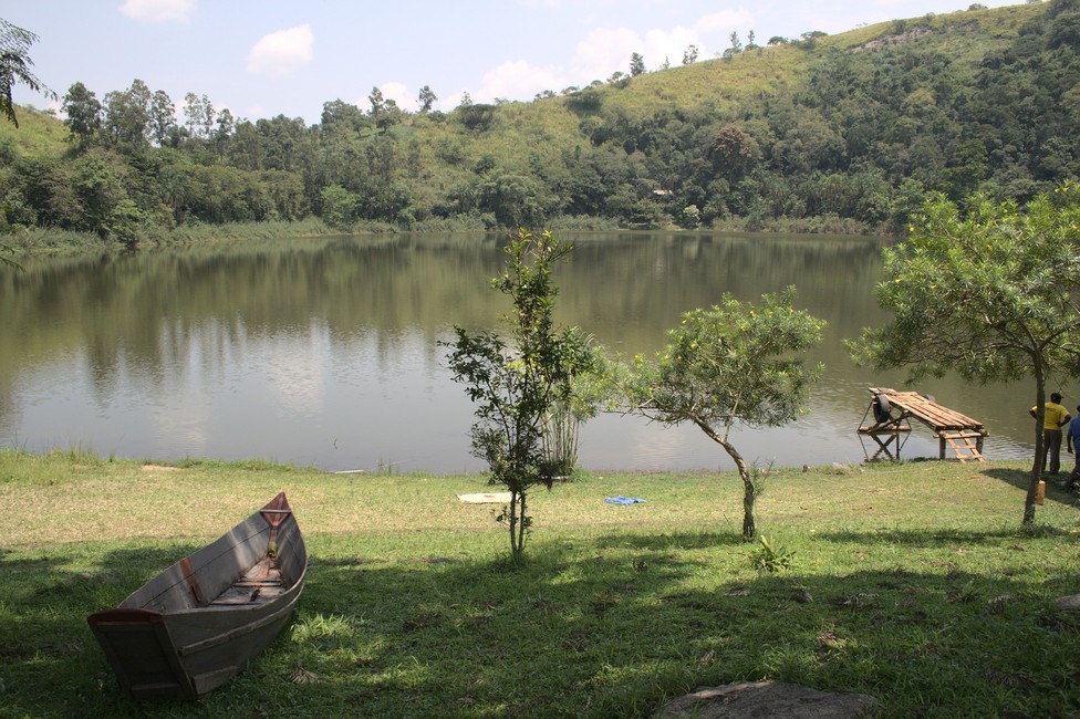
Lake Kasenda
Lake Kasenda Campsite

Lake Kasenda is a crater lake located in western Uganda, in the Kasese District. It’s one of the most scenic crater lakes in the area, with crystal clear waters surrounded by lush vegetation and rolling hills. Visitors to Lake Kasenda can enjoy a variety of activities, such as hiking around the lake, bird watching, and fishing for tilapia and catfish. The lake is also a popular destination for photography and nature lovers, with breathtaking views of the surrounding landscape.

Again, this lake is idyllic. The slopes of the extinct volcano are densely covered with tropical vegetation. We enjoy the peace and quietness here and take a walk along the shore, for a narrow path leads along the lake.
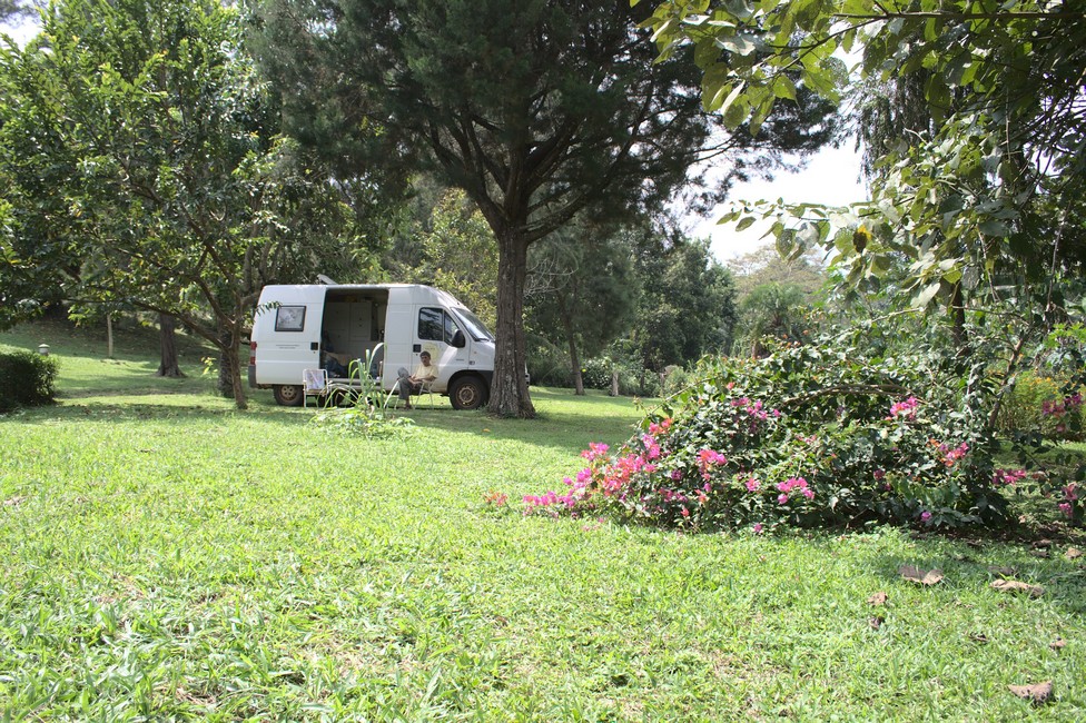
Lake Kasenda
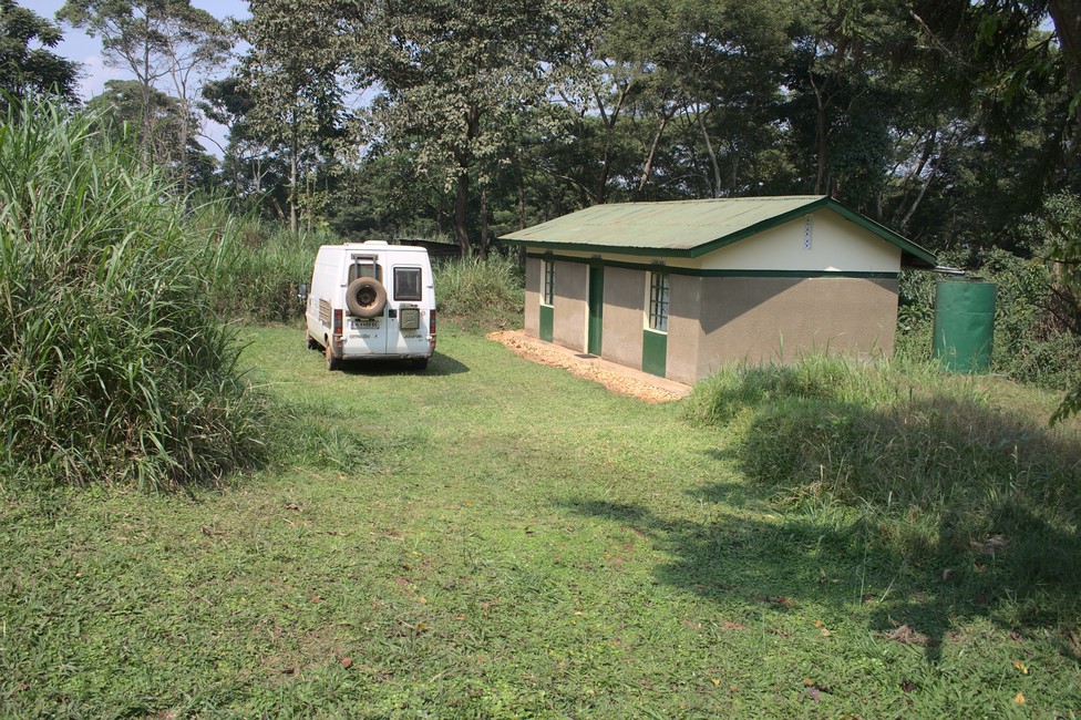
Campsite

In the night it rained, however, and heavily, which has transformed the black volcanic soil into soft soap.
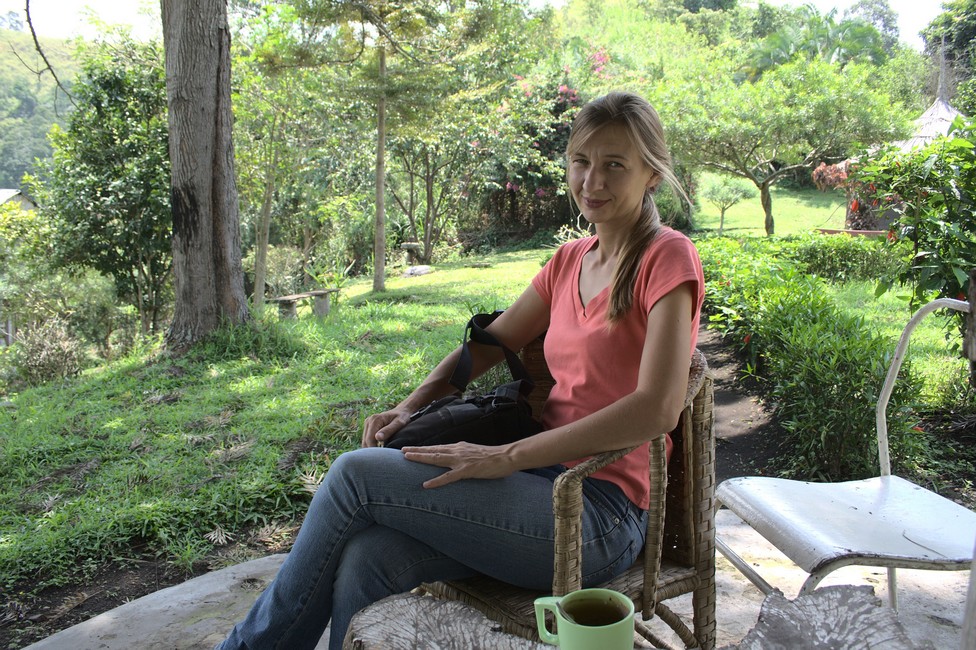
Lake Kasenda
Alexandra at Lake Kasenda

We have massive problems, despite sand ladders to get out of the crater. The van always slips sideways off the track.

With stones in the lane, we try to stabilize the van. And then it happened. The van slipped into a tree and damaged the bodywork on the roof. Bad luck, but our problem is still unresolved. Only with the help of eight boys who held to stabilize the van, we manage our escape.

We are glad to have tar under the wheels again. Our next destination is Queen Elizabeth National Park.

Overall, Lake Kasenda is a hidden gem in western Uganda that offers a tranquil and scenic escape from the hustle and bustle of city life. It’s a great place to relax, unwind, and immerse yourself in the natural beauty of Uganda.
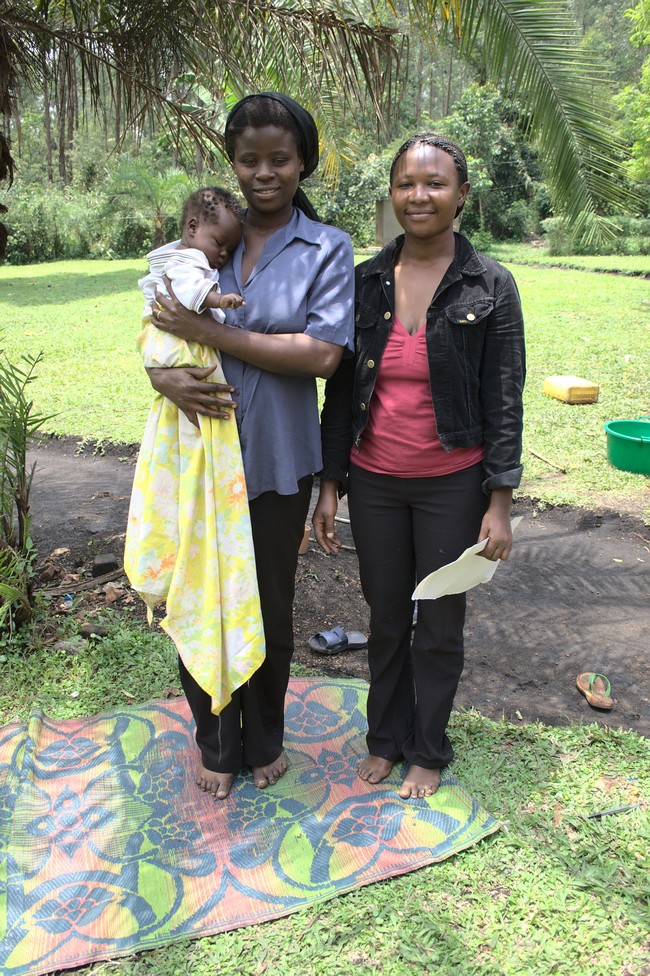
Lake Kasenda staff
Lake Staff

Previous

Next

Lake Nkuruba Uganda Crater Lakes 077

Lake Nkuruba is our next stay. It is close to Fort Portal and many other crater lakes. Uganda is known for its diverse natural beauty, including its many crater lakes. These stunning lakes are formed in volcanic craters, and offer a unique and picturesque destination for tourists.

Lake Nkuruba
Lake Nkuruba

The trail winds through villages and fields, on the crater Nyabikere we stay in the Crater Valley Lodge.

We’re just in time for sunset. Golden sunlight reflected on the surface of the crater lake.

Lake Nkuruba
Lake Nkuruba

We still want to visit Lake Nkuruba. It leads through banana groves in hilly landscape. The area consists of more than 40 lakes, all of which have a different color.

Lake Nkuruba
Lake Nkuruba Campsite

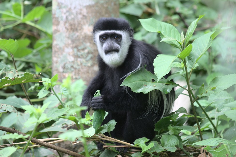
At the Community Campsite we stop. The campsite is situated on the edge of the crater and allows good views into the crater. The crater rim is covered with rain forest. The lake is not very large, perhaps 100 by 100 meters. Impressive is the background noise. Crickets, birds, and occasionally you can hear the call of a colobus monkey.

colobus
Colobus Monkey

From the campsite, we can observe a group of colobus monkeys. They are eager to pick the fleas from the coat. Social grooming, this is called, is a sign of confidence in monkeys and also serves to strengthen social relationships.

Funny to watch are their ​​tassel-like tails. The black – white fur serves as camouflage. In the forest and the forest canopy, where light and shadow contrasts are hard, they are hardly exempt from the distance and well camouflaged.

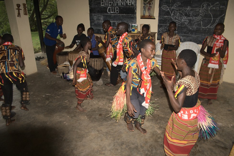
We observe these fascinating creatures for a while until we are invited by the head of the campsite to watch a dance performance of the village youth.

girls dancing
Girls dancing

add_photo_alternate The next day we go from here to the so-called “roof of the world”. There is a hill from which one can overlook several crater lakes.

Lake Nkuruba
roof of the world

Previous

Next

Semliki National Park and hot springs 076

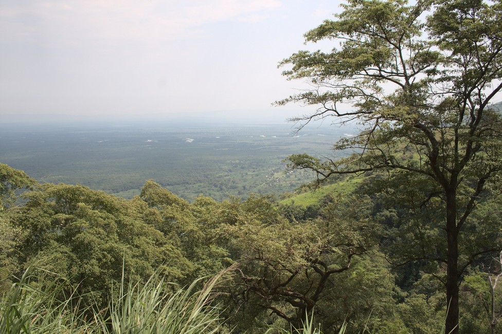
We continue alone into the Congo basin, we want to Semliki National Park. We have a small mountain ridge ahead with wonderful landscape, of which one has good views over the Congo basin. From here one can see into the Republic of Congo.

Semliki National Park
Semliki National Park with Congo Basin

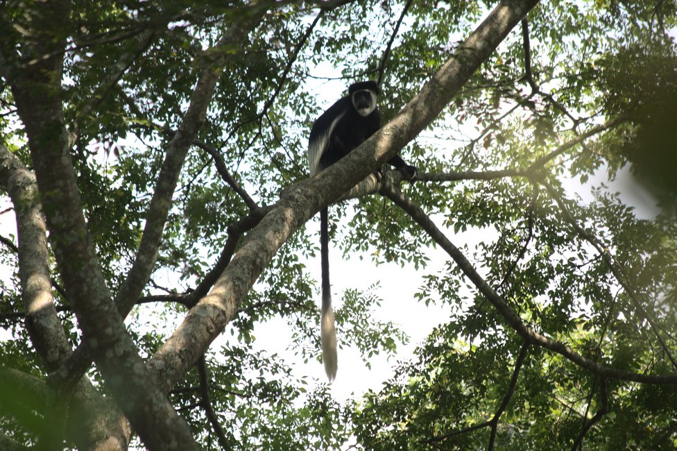
A few kilometers later we reach the ranger station. We hire a guide who takes us to the hot springs. Immediately we spot Colobus monkeys.

Semliki National Park
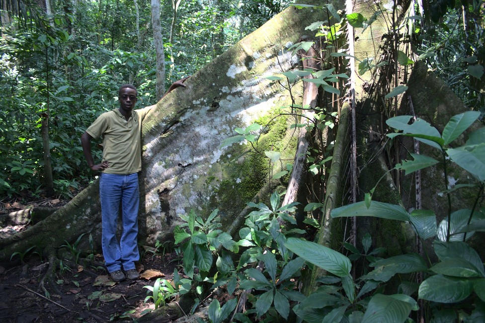
Our Guide

The Semliki Park consists ​​of genuine lowland rainforest, with tropical humid and very hot climate. Between 1997 and 2001 the park several times had to be closed to the public, because anti-government rebels were staying in the area and from there, attacked villages and settlements.

Therefore, prior to a trip to the Semliki, always check the latest security situation.

Semliki National Park, a hidden gem nestled in western Uganda, is a captivating haven of biodiversity and natural wonders. Covering an expansive area of about 220 square kilometers, this relatively lesser-known national park boasts a diverse range of ecosystems, including tropical rainforests, savannah grasslands, and hot springs. Its rich biodiversity, unique geological features, and cultural significance make it a must-visit destination for nature enthusiasts and adventure seekers alike.

The park is located in the Semliki Valley, which is part of the Albertine Rift, an area known for its exceptional biological diversity. The Albertine Rift, characterized by its steep escarpments and deep valleys, is home to numerous national parks and reserves, making it a crucial conservation area for Africa’s wildlife.

Semliki National Park is bordered by the Democratic Republic of the Congo to the west and the Rwenzori Mountains National Park to the south. This strategic location provides a vital corridor for wildlife migration between Uganda and the neighboring countries, contributing to regional biodiversity conservation.

The park’s most prominent feature is the Semliki River, which meanders through the valley and serves as a lifeline for the diverse flora and fauna that inhabit the park. The river’s banks are lined with dense gallery forests, creating an ideal habitat for a variety of animal and plant species.

Semliki National Park
Hot Springs

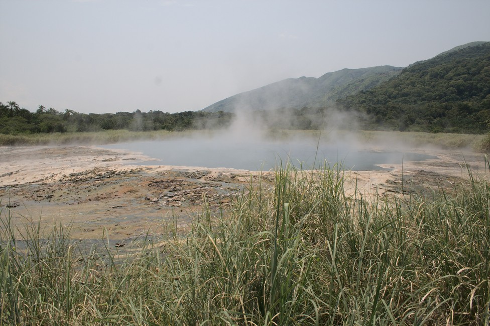
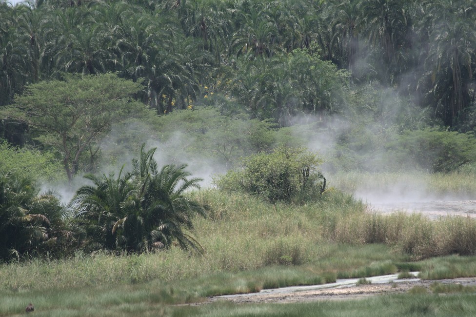
Finally we reached the hot springs and the hot steam can already be seen from far. With approximately 106 degrees Celsius, the water comes out of the ground, two springs are in the nature of geysers. Of course we are told the common story of boiling eggs in the springs which is said the people at the weekend come here for picnic and boil eggs.

hot springs
Hot Springs

To get a better overview, we climb a wobbly tower. Up from here, you can see far into the country and the steam of hot springs. The rest of the day, we relax on the nearby idyllic campsite.

Semliki National Park
Semliki National Park Campsite

Previous

Next

Kibale Forest National Park 075

We stay overnight at Kibale Forest National Park. There is a mountain and rain forest system with enclosed swamp and grassland sections. The trees can grow up to 55 meters. The park has one of the highest primate densities in the world.

Kibale Forest National Park
Kibale Forest National Park Campsite

We are enthusiastic about army ants marching like soldiers in a row on the road. We hoped to see monkeys, but as much as we scan the trees, nothing to see.

A little disappointed we leave Kibale Forest National Park. At the reception, we stop to pay for the night. The receptionist is very nice and said she had already heard them. We step out of the building and we actually hear some. And suddenly there’s a rustling in the branches. A colobus monkey.

Kibale Forest National Park
Colobus Monkey

The monkeys are curiously watching us from the treetops. They are beautiful animals, with long-haired fur -black and white, they look like forest ghosts.

In Fort Portal we stay one more timeovernight and today we say goodbye to Steffen and Steffi. They were already three years on the road and have to go back. They want their car ship from South Africa to Europe, but until then, there are still some thousand kilometers.

Kibale Forest National Park
Campsite with Steffi and Stephen – Time to say Good Bye

We sign on the car and we hugged, it was nice to travel with them, they had come through West Africa, a hard part of Africa, we believe they are already a little tired of Africa.

Kibale Forest National Park
Last day with Steffi and Stephen

Previous

Next

Lake Albert 074

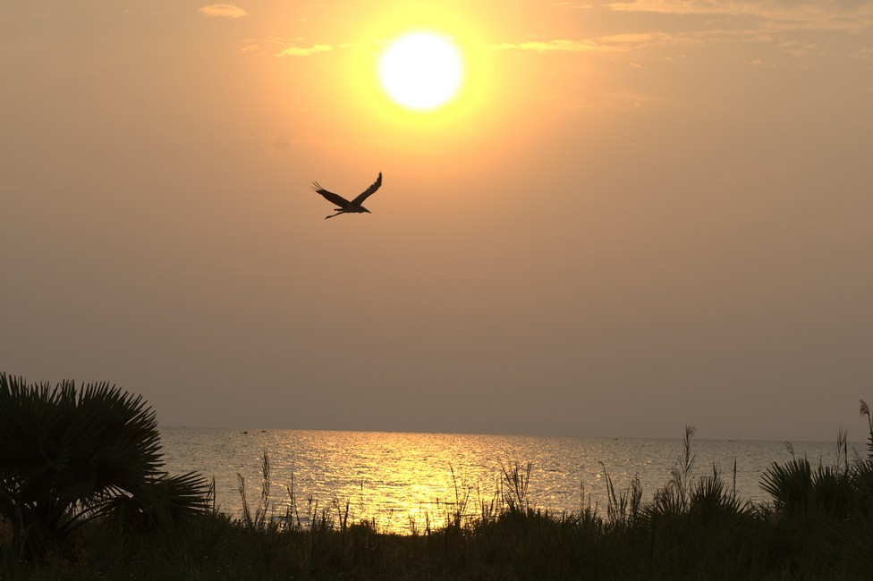
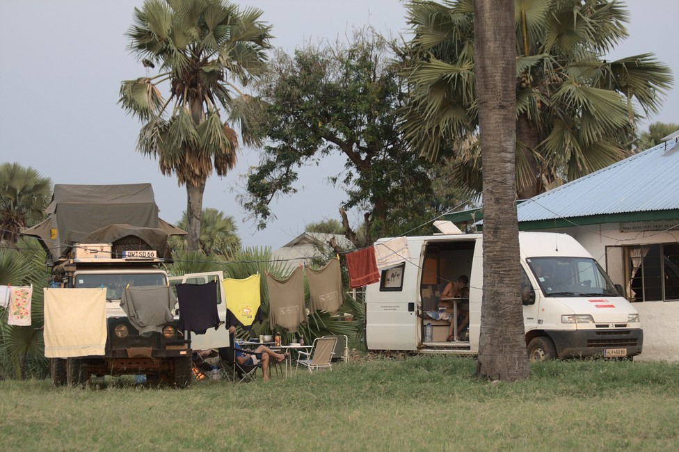
Sunset on Lake Albert. Idyllic. We find a place to stay in a guesthouse. Camping on the lawn, showers provided for us in a bungalow. With a sundowner we enjoy the atmosphere.

Lake Albert
Lake Albert Sunset
Lake Albert
Campsite Lake Albert

In the morning we continue another 100 kilometers, we will again stay at the Albert Lake. The track is not bad, so we should arrive by early afternoon.

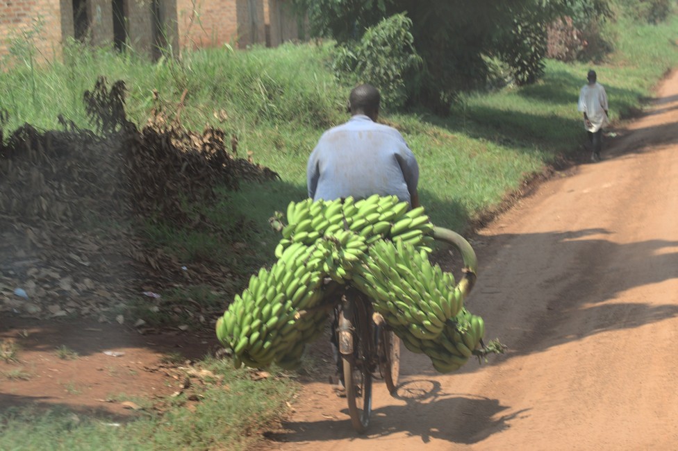
Bananas
Banana Express

Over a mountain range we come down to the level of the Lake Albert. The pass looks harmless, but it is difficult to drive .The area is sparsely populated, so we might as well camp free, but first we want to try it in a lodge.

Lake Albert
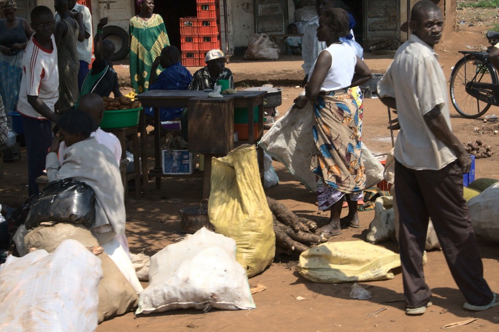
Lake Albert Roadside Shopping

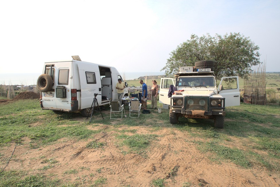
Through tall grass we drive on a hill, where a hotel is signposted. We can camp in front of the hotel, get electricity and hot showers.

Lake Albert
Lake Albert Campsite

A short time after our arrival we get visitors. Two guys in uniform came to us and asked for our passports. We could not find out wheter these is Police, Customs or Military. They asked what we are doing in this remote area and we explained that we are on a trip from Europe to South Africa. I am not sure if he believed this but handed over our passports and left. The Hotel owner had no clue why they were here and how they found out about us in such a short time.

Lake Albert
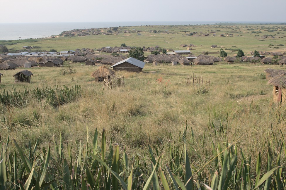
Lake Albert – Fishing village view from the campsite.

The view is wonderful. We’re looking at a traditional village, no new construction disturb the visual appearance, in the background Lake Albert.

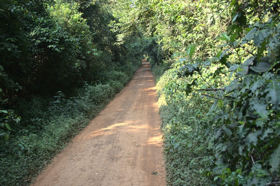
The next day should bring us to Fort Portal. But the jungle track does not look for fast driving. In the short term, we doubt whether we are correct, but there is no other way.

Lake Albert
Jungle Road

The jungle track gets narrow and overgrown, we consider what we do with oncoming traffic, let’s see if we meet other vehicles at all. It is always wet and we start to slip a bit.

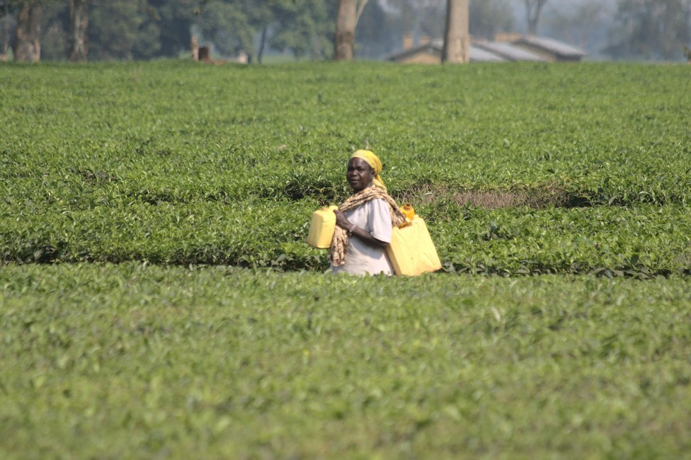
After a few hours we made it. We turn onto a wide track. On both sides tea cultivation, as far as the eye can see.

tea
Tea Plantation

We have not heard about tea cultivation in Uganda, did never try it, therefore we do not know how it tastes. In any case, it is interesting to look more closely at the plant.

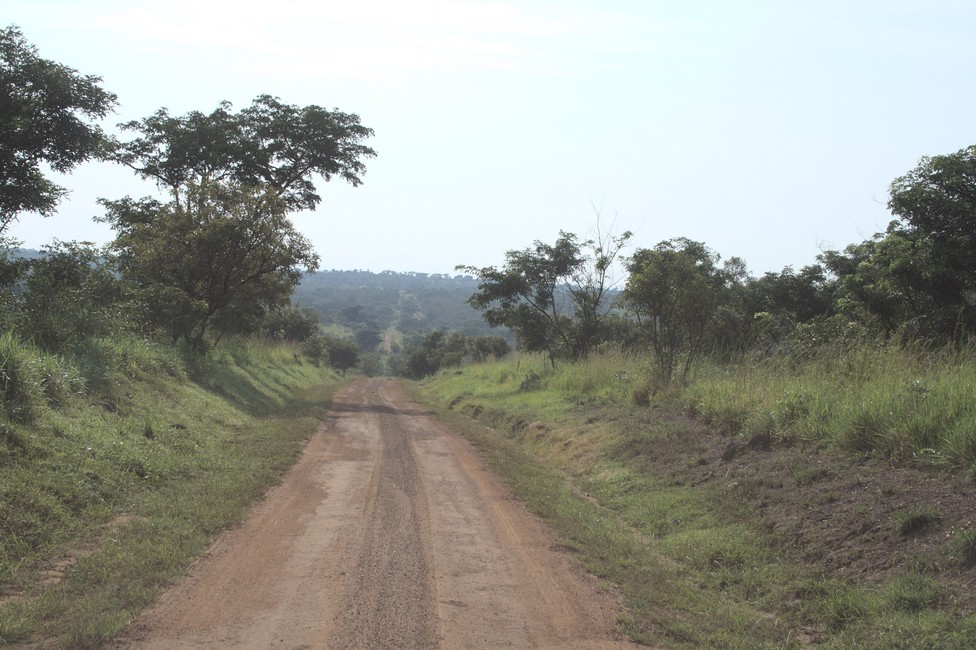
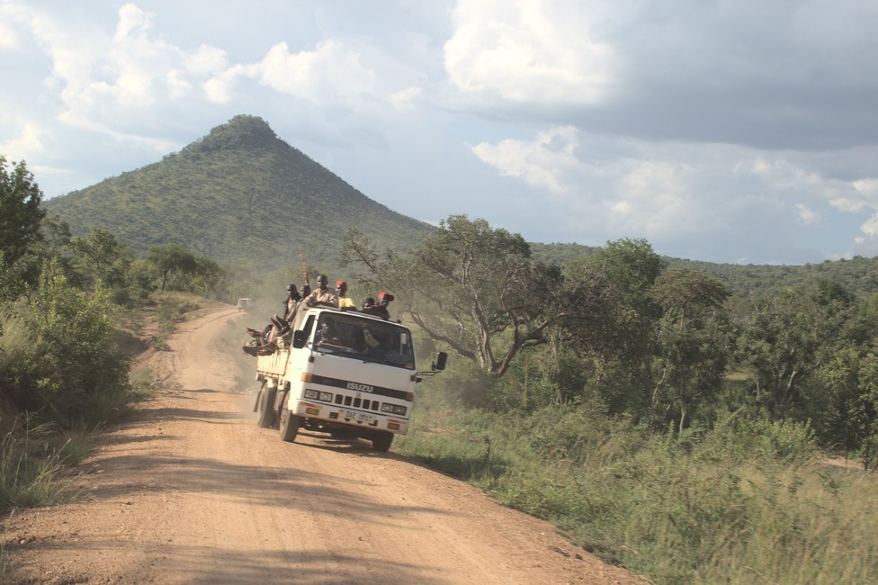
The roads in Uganda are generally quite good, because they are often repaired. With great Caterpillars the loose material is pushed away from the road and the surface is made ​​flat, then it is smooth and allows speeds up to 100km / h.

uganda roads
Good Roads in Uganda

We stop again, this time to buy bananas. The fruits here are small and very sweet taste and taste really like bananas, totally different than in Europe. The seller can not take it to carry the goods up to the car. We say goodbye and go further.

Previous

Next

Murchison Falls 073

We find out quickly from Kampala, our destination is Murchison Falls National Park, but until then we will need a few days. On perfect tarmac road it is about 200 kilometers to Hoima, the last major town before the tar changes into a red soil road.

Murchison Falls
Road to Murchinson Falls

On this road it’s about 100 miles to the National Park, not to manage on one day. Never mind, the scenery is beautiful and it always interesting on the road. Sun is setting and we need a place to sleep. Supposedly there will be one in a few kilometer. We are skeptical, then surprised, that there is in the middle of the jungle a small community campsite.

The next morning we head back a bit, and soon we can see Lake Albert in the distance.

In the middle of nowhere a bit of tarmac appears, the joy is great, but lasts not for long, because the piece is just 800 meters long and probably served to mimimize the mud on this steep part that would make the road impassable.

The last meters to the campsite it leads through small villages and tall grass, the site is simple, pit latrine and bucket shower with cold water. The location is beautiful. We spend a funny evening with plenty of beer, tomorrow Alexandra and me want to leave early to the Murchison falls, Steffen and Steffi will take care of Tara, she is not allowed into the National Park.

The track is good and we are progressing fast. We see no animals, but once we stop, the vehicle is covered with tsetse flies, the carriers of sleeping sickness. Window remains closed, indoors it is suffocatingly hot, we are glad that Tara was able to stay at the campground.

Murchison Falls
Murchinson Falls

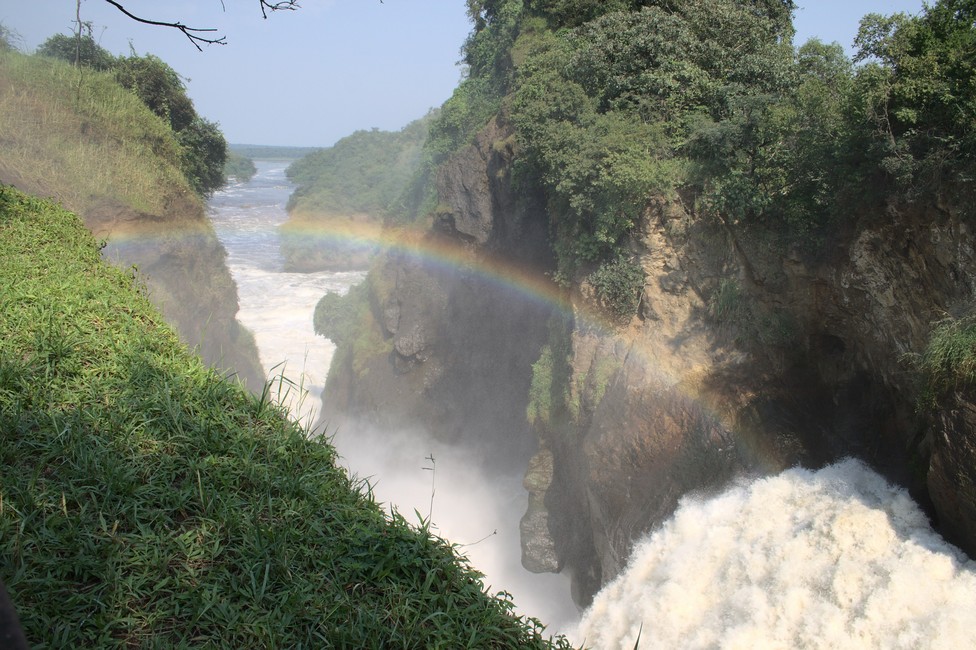
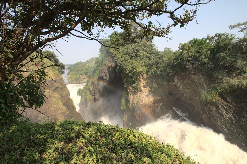
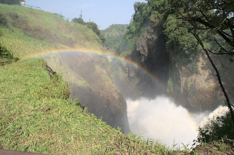
The view of the Nile and Murchison falls is gigantic, the Nile flows restless till it is squeezed through a seven meter wide gorge and plunges 43 meters into the depths.

Murchinson Falls

The spectacle is tremendous. The park owes its existence to an epidemic of sleeping sickness in the region, where 13,000 square kilometers had to be evacuated, and long remained deserted. This kept the area untouched and was later declared a national park.

Murchison Falls
Murchinson Falls

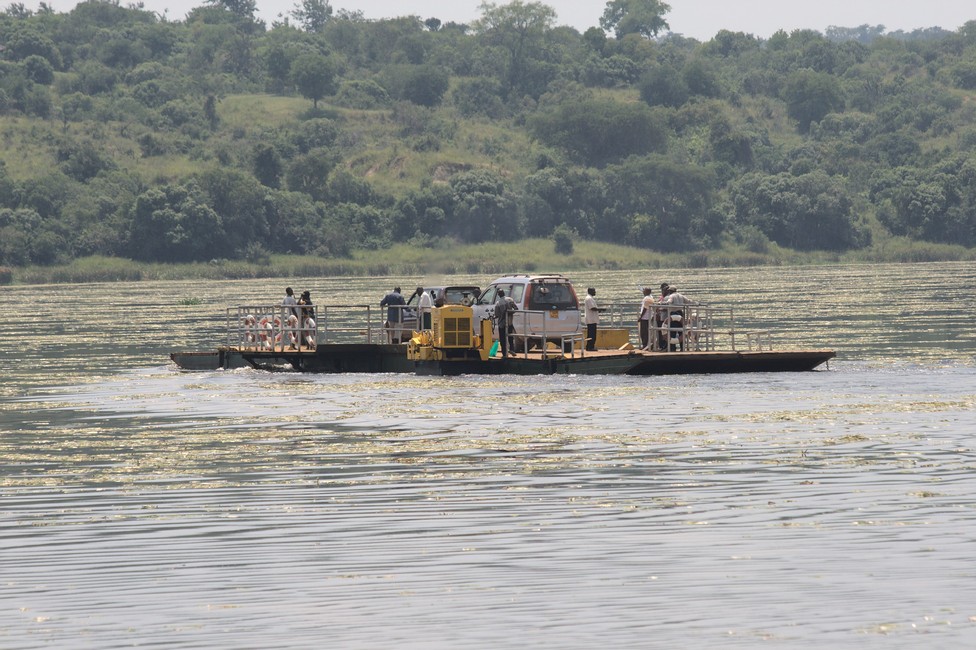
The tsetse flies are nasty and we leave, we still want to go to the Nile, where there is a ferry across the river.

Murchison Falls
Ferry across the Nile

It connects two parts of the park. However, it can not be used free of charge. Our trip was short lived, we pick up our friends from the camp and head towards Fort Portal. Also not to make in one day.

Murchison Falls

Previous

Next

Kampala – Stop Over 072

After a few days we go on to Kampala. But before we need beef, a kg costs about 5 U.S. dollars. Steffi and Alexandra go shopping. At a stall there is a lovely piece of meat hanging, not a beef filet but this meat is very good for steak as well. Since Egypt, we know where the steak is in the cow.

Kampala
Kampala we are coming

We prefer to buy from the street butchers over supermarkets, in spite of flies because the meat is fresh and is sold very quickly. Alexandra is surrounded by small children, the most stare at her long blond hair.

Kampala
Waiting for our wives.

At another stall, they organize vegetables – locals watching the scenery, white people rarely buy at these stalls. We cross over Bujagali dam, which was built in 2007, with electric power plant and 30-meter high dam, because we want to the so-called source of the Nile. After the bridge Police, of course they are curious, look at every thing in detail, but are friendly. They let us drive on without hassle.

The construction of the dam has changed a lot. It was a greater intervention in the ecosystem and the rapids have changed. The rafting companies will have to move downstream.

Behind the dam, we turn off, and Steffi and Alexandra are positioned in front of the source of the Nile, for a photograph.

Here, where the Nile emerges from Lake Victoria, the source of the White Nile is supposed.

In Kampala, we check in at Red Chilli camp. Curious is the giant pig that will even get bigger by Steffi’s food gift. It is the attraction here, and every guest wants to pet it.

Kampala is a surprisingly modern city, with a variety of shopping centers, mostly South African chains, like Shoprite have settled here.

Previous

Next

Bujagali Falls – no longer exist 071

Next destination: “Bujagali Falls”. In the morning we start early. We only have tarmac ahead, so it should go fast. We leave Mount Elgon. In the nearest major town we need a money exchange and a SIM – card.

We wander around a bit, we need a bank to change our Kenyan Shilling to Uganda Shilling, and the SIM – card for the telephone.

Soon everything is done, shopping done and we are back on tour.

We want to buy fruit and vegetables, stop at the left side, because we drive here on the other side of the road as in Europe, and look what the stands offer.

Most traders come to the car and want to sell their goods. That is always turbulent and loud, everybody cries through the crowd, but it is always great fun.

Of course, we must bargain, the courtesy in East Africa demands that. So we play the game and in the end it is usually a trade, once you make a bargain, other times you will loose. This is Africa.

In another city, we stop to organize charcoal. It is sold on the roadside, usually in big 20 kg bags, but you can also have smaller portions.

Steffi and I look at the different lots, there are different sized portions and the price does not seem to correspond with the amount offered. We select two portions that provide the best price / performance ratio. No, Africa is not logical.

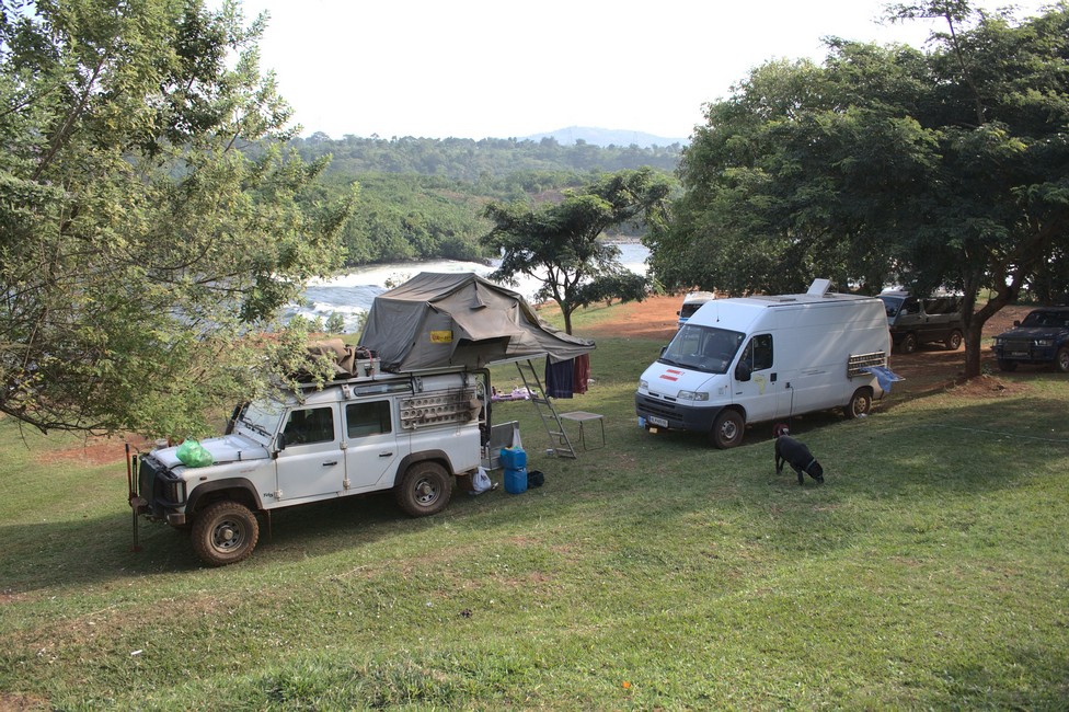
After a short time we are in Jinja, at the Bujagali Falls and find a great campsite, next to the rapids.

Bujagali Falls
Bujagali Falls – Campsite

Tara relaxes immediately, for her it was a long day.

Bujagali Falls
Bujagali Falls

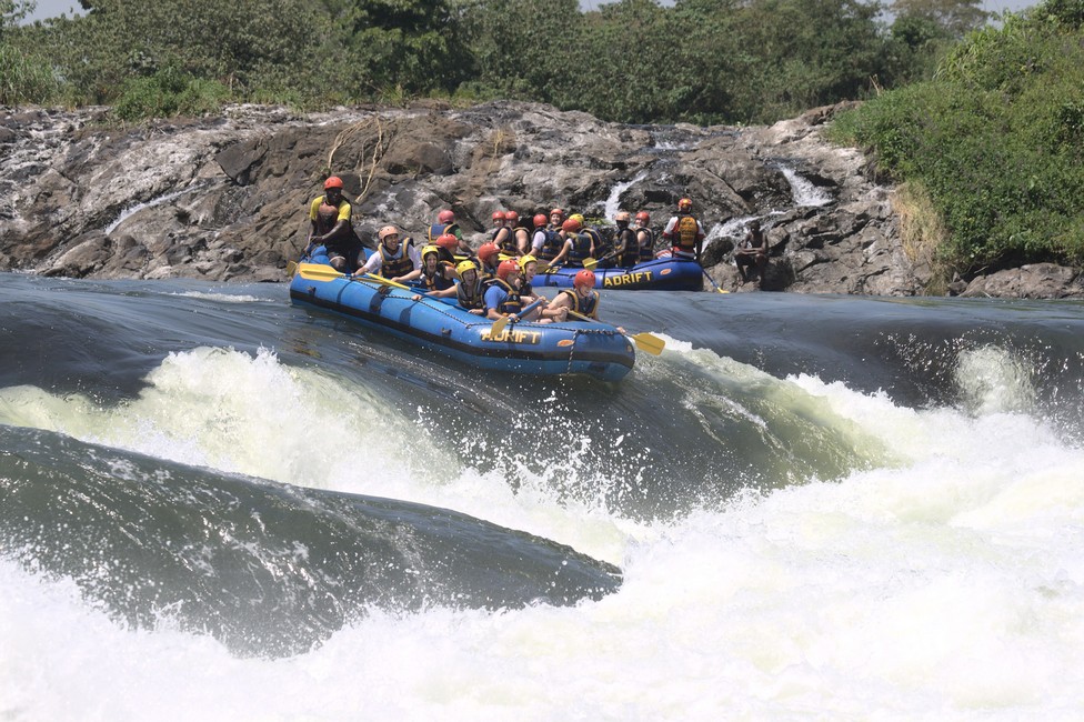
Actually, they are rapids and not waterfalls, which the Nile forms coming from Lake Victoria. Very popular here is rafting and some lodges and campsites offer rafting. On the shore, there are numerous water birds, we will stay here for a few days.

Bujagali Falls
Bujagali Falls

Spontaneously a group of young people starts making music and dancing.

Previous

Next

Sipi Falls – the hard way there 070

Next Sipi Falls: Already, Mt. Elgon in sight, a comfortable ride of 1 hour on a rather good road.

Mount Elgon
good road to Sipi Falls about 1 hour’s drive

But we are too optimistic, a local motorbike stopped us to tell that the road is blocked for a few weeks as a landslide has swept away the road and we have to take a detour of 200 kilometers to Sipi Falls.

The road is more than bad, and it looks like we will reach Sipi Falls not before midnight. That means many hours of driving at night, what you should not do in Africa.

The road is not marked on any map and so we stop and ask a truck driver to see if we are still on the right track.

The road is fine the driver says he thinks probably the direction is fine but not the road conditions. Promptly and as expected, we come into the night, horrible driving around.

Steffi
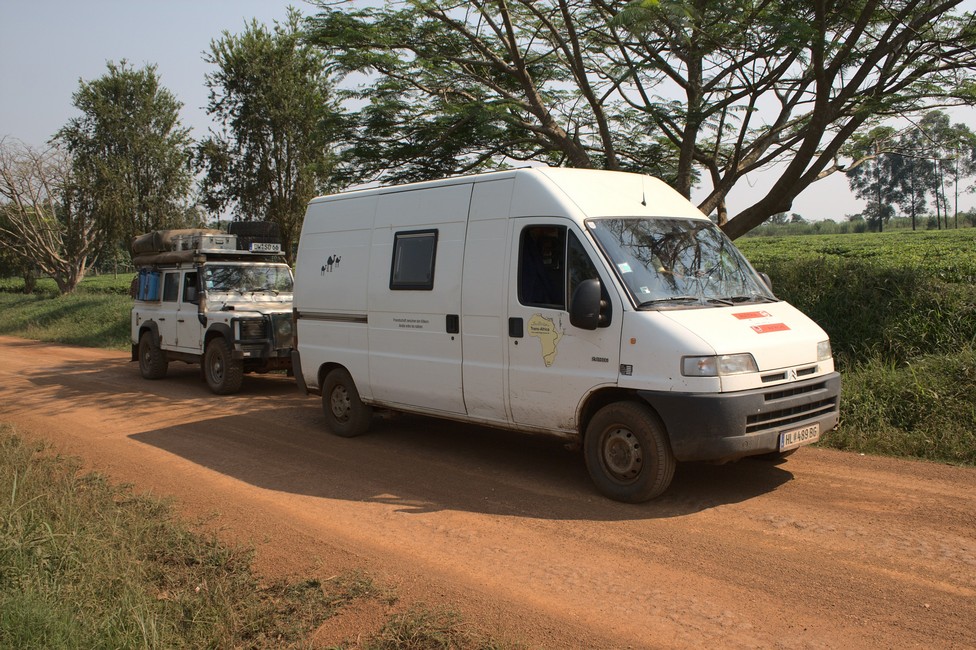
Our friends in their Land Rover

We have left early in the morning at around 6.00 and were driving on bad road, crossing rivers where there was no road at all, passing a swamp, no stop, only pee break and we were not even sure if we are on the right track. We came through landscape, where we were sure, never ever had here a foreigner been, as people (there were a few) were starring at us, as we would come directly from the moon. So it started to rain, which made things not better and above all it started to get dark.

Mount Elgon
It is getting dark

The road got muddy and the sight was almost none, but you can not believe, there were people on the road, which we hardly could see, so really dangerous. We were tired and wanted to stay over night and continue the next day, but it was immposible to leave the road as everywhere was swamp, and we could not sleep in the middle of the road. Later in the evening we realized that we were on the right track and a few kilometres before Sipi Falls the tarmac began. Exhausted we arrived in Sipi Falls after midnight. AND hungry.

Alexandra is always the good soul and started to prepare steaks and potatoes for all of us. Hectolitres of beer let us slip into the night.

Sipi Falls
Sipi Falls Campsite

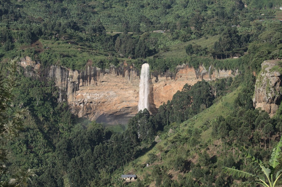
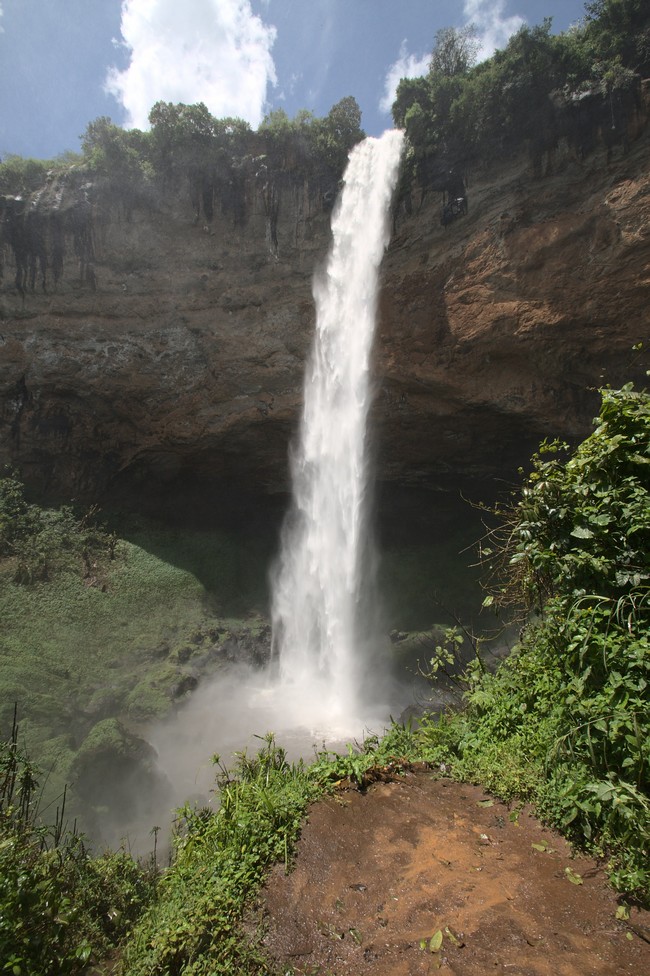
It was not until the early morning we can see where we landed. The view from the campsite to the Sipi Falls is gorgeos.

Sipi Falls
Sipi Falls

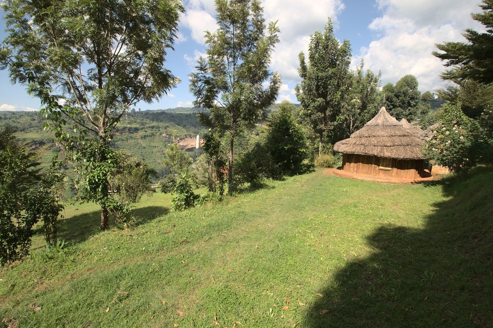
60 meter the water masses plunge into the depths. The complex of waterfalls consists of four separate falls that lie at 1770 meters above sea level. The campground is nicely laid out, with tropical plants and washing huts in traditional style. We do not want to lose time and jump into the hiking shoes, a mountain guide is also on hand,who leads us down to the falls.

Sipi Falls
The path down to Sipi Falls

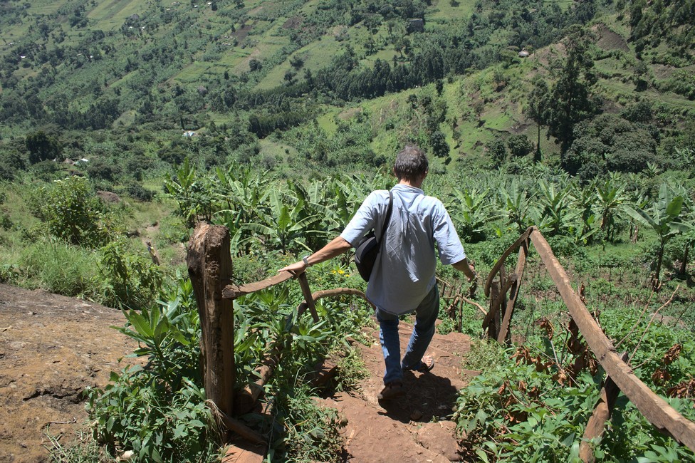
The descent is fierce. Over narrow wooden ladders with ropes to hold we climb down a rock wall, just in the style of the Austrian mountains.

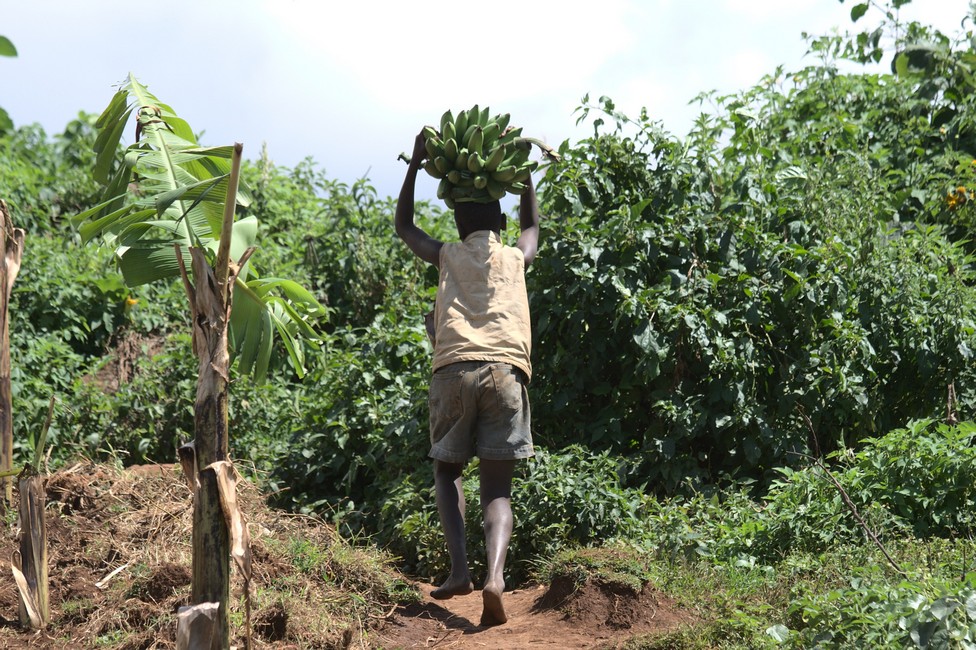
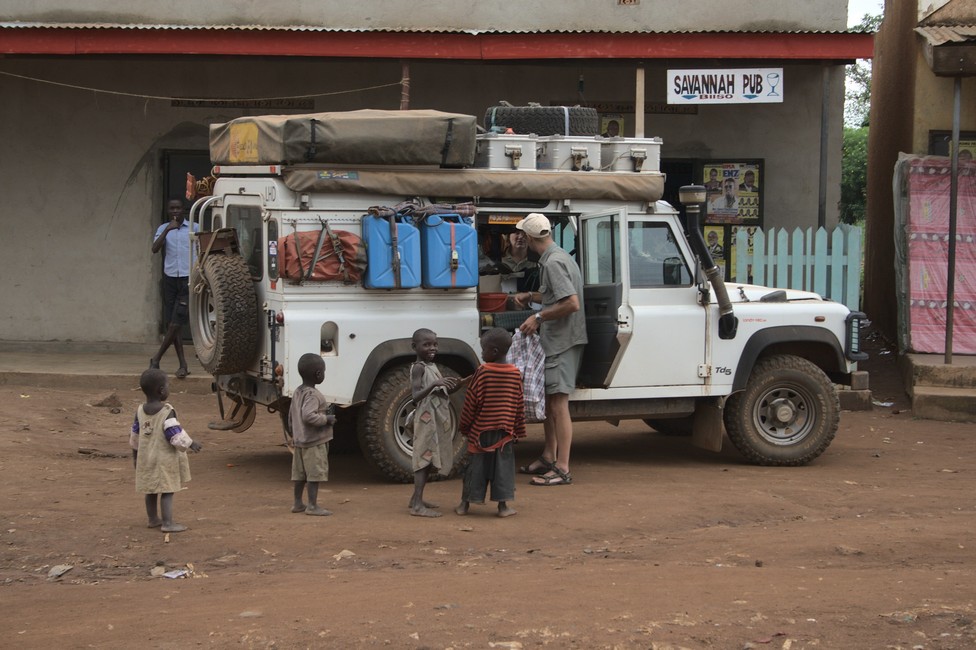
The guide carries my tripod, I am absolutely thrilled with the guy. Again and again we meet people who are climbing with heavy loads on the head. Tough people in Uganda.
Sipi Falls
banana transport

A woman balanced a bundle of wood on the head, unbelievable. Soon we arrived at the foot of the falls. A great spectacle. Breathtaking.

Sipi Falls
Sipi Falls

The rise, however, was ​​more difficult than expected. Exhausted we reached the top and we cook immediately. Of course, we have beef filet, what else. We men are in paradise. The women cook, we sleep. Nothing to complain about.

Previous

Next

Eldoret and on to Uganda 069

In Eldoret we want to Naiberi Fish River Camp, which is led by an Indian named Raj. The site is beautiful, well maintained with a barbecue and we feel well, Tara also enjoys the atmosphere here.

Eldoret
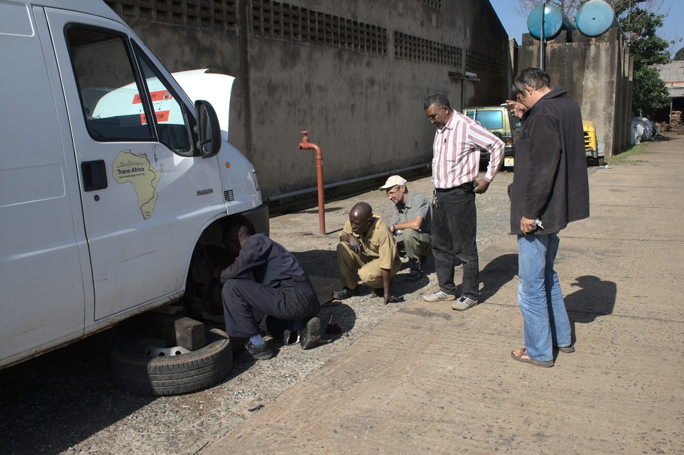
Eldoret Again brake repair

The camp is our last stop in Kenya. Tomorrow we will go over the border into Uganda and come to Sipi Falls. Steffen wants to know, and has chosen the harder route, via Kitale to Uganda, and around Mt Elgon to Sipi Falls. I’m skeptical about this route, but we’ll see.
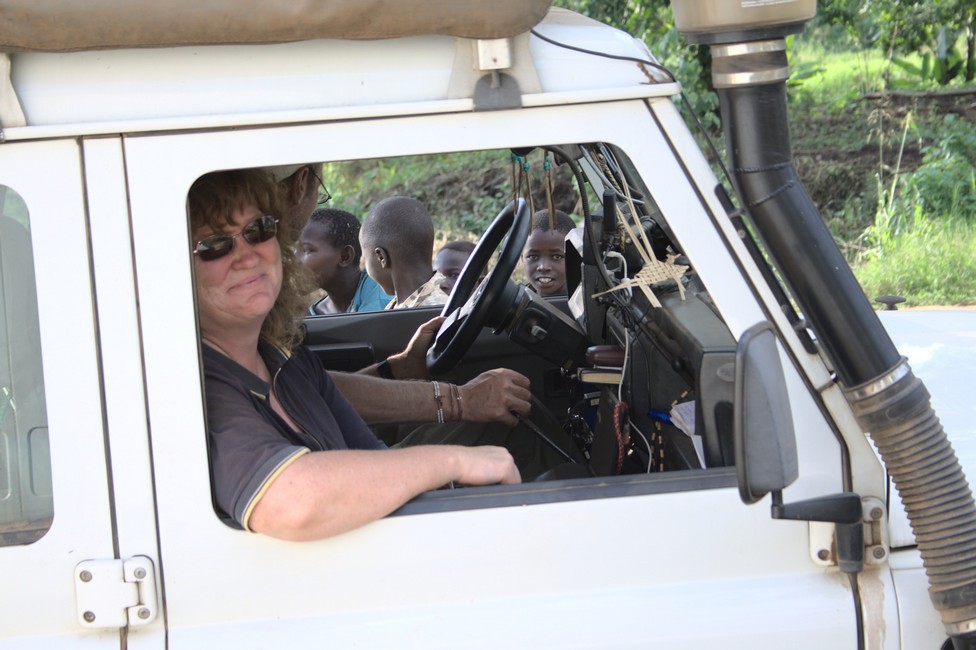
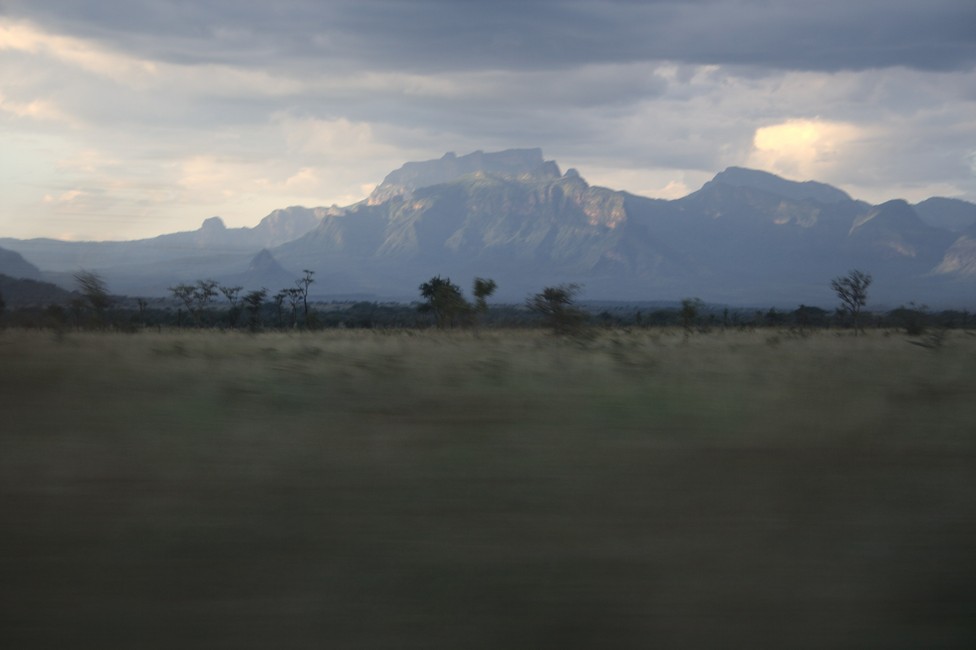
And already after a few kilometers, we need to change and reverse the route because the road is a disaster. So we have to take a small detour.

What we do not yet know – it is the day of detours.

In Kitale, we squeeze our way through the city, it is the last village before the border.

The road gets worse and worse, with deep washouts and harder surface. Actually unbelievable that this is a road that links two states.

We are approaching the border crossing. Uganda we are coming, we are already excited about what we can expect in this country.

The border crossing into Uganda was not a problem, we were warmly welcomed by the officers and pointed out the beauties of the country, Uganda is already sympathetic to us, as the officials left a friendly impression.

The post is situated in the nowhere and first we did not find the officers. A Lady living there showed us to the house where the officer lives. We knock at his door and tell him we wanted to enter. So he got reay and we walked back to the customs house. There he prepared everything stamped our passports and the important carnet de passage . Years later we learned that there is a more simple and cheaper solution for bringing the car in a country.

Previous

Next

Overland Travel Tips for Africa

A note to our visitors

This website has updated its privacy policy in compliance with changes to European Union data protection law, for all members globally. We’ve also updated our Privacy Policy to give you more information about your rights and responsibilities with respect to your privacy and personal information. Please read this to review the updates about which cookies we use and what information we collect on our site. By continuing to use this site, you are agreeing to our updated privacy policy.